Novokharitonovo — Klinok
Novokharitonovo — Labinsk
Novokharitonovo — Mokrushinskoye
Novokharitonovo — Inga
Novokharitonovo — Shishino
Novokharitonovo — Primorsk
Novokharitonovo — Neman
Novokharitonovo — Gorod Vyshniy Volochek
Novokharitonovo — Vasilek
Novokharitonovo — Atemar
Novokharitonovo — Stepanov
Novokharitonovo — Lake
Novokharitonovo — Azyakovo
Novokharitonovo — Tervajärvi
Novokharitonovo — Vyborgsky District
Novokharitonovo — Dzerzhinskoye
Novokharitonovo — Khabarovsk region
Novokharitonovo — Gavrovo
Novokharitonovo — Tashchilovo
Antonovo
Antsiferovo
Orekhovo-Zuyevsky District
Kurovskoye
Davydovo
Likino-Dulyovo
Orekhovo-Zuyevo
Orekhovo-Zuyevo
Bol'shaya Dubna
Malaya Dubna
Gorodishchi
Pokrov
Vol'ginskiy
Petushki
Kosteryovo
Lakinsk
Vorsha
Nemtsovo
Mostostroy
Baraki
Vladimir Oblast
Simonovo
Ponomarevo
Novokharitonovo — Vyazniki distance, route on the map
Distance by car
Distance between Novokharitonovo, Moscow Oblast, Russian Federation and Vyazniki, Vladimir Oblast, Russian Federation by car is — km, or miles. To travel this distance by car, you need minute, or h.
Route on the map, driving directions
Car route Novokharitonovo — Vyazniki was created automatically. The road on the map is shown as a blue line. By moving the markers, you can create a new route through the points you need.
Passing cities through which the car route passes: Novokharitonovo, Antonovo, Antsiferovo, Orekhovo-Zuyevsky District, Kurovskoye, Davydovo, Likino-Dulyovo, Orekhovo-Zuyevo, Orekhovo-Zuyevo, Bol'shaya Dubna, Malaya Dubna, Gorodishchi, Pokrov, Vol'ginskiy, Petushki, Kosteryovo, Lakinsk, Vorsha, Nemtsovo, Mostostroy, Baraki, Vladimir Oblast, Simonovo, Ponomarevo.
Distance by plane
If you decide to take a trip Novokharitonovo Vyazniki by plane, then you have to fly the distance — 239 km or 148 miles. It is marked on the map with a gray line (between two points in a straight line).
Flight time
Estimated flight time Novokharitonovo Vyazniki by plane at cruising speed 750 km / h will be — 19 min.
Direction of movement
Russian Federation, Novokharitonovo — right-hand traffic. Russian Federation, Vyazniki — right-hand traffic.
Difference in time
Novokharitonovo and Vyazniki are in the same time zone. Between them there is no time difference (UTC +3 Europe/Moscow).
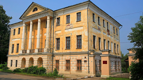
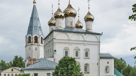
Interesting Facts
Information on alternative ways to get to your destination.
The length of this distance is about 0.6% of the total length of the equator.
The cost of travel
Calculate the cost of the trip yourself using the fuel consumption calculator, changing the data in the table.