Angra dos Reis — Poá
Angra dos Reis — Ibiraiaras
Angra dos Reis — State of Rio Grande do Sul
Angra dos Reis — Vicência
Angra dos Reis — Prudente de Morais
Angra dos Reis — Cajobi
Angra dos Reis — Atalanta
Angra dos Reis — Saquarema
Angra dos Reis — Lagoa do Itaenga
Angra dos Reis — Pequeri
Angra dos Reis — Santo Antônio do Paraíso
Angra dos Reis — Bagé
Angra dos Reis — Patos
Angra dos Reis — Tacaratu
Angra dos Reis — Jambeiro
Angra dos Reis — Santa Cruz da Conceição
Angra dos Reis — Palmares Paulista
Angra dos Reis — Lobato
Angra dos Reis — Galiléia
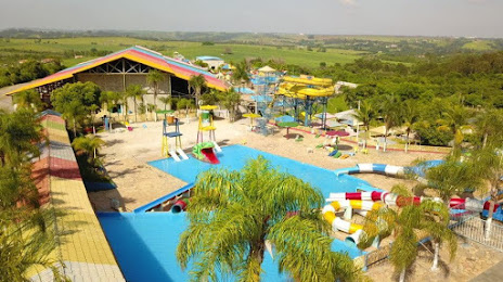
Angra dos Reis — Santa Bárbara D'Oeste distance, route on the map
Distance by car
Distance between Angra dos Reis, State of Rio de Janeiro, Brazil and Santa Bárbara D'Oeste, São Paulo, Brazil by car is — km, or miles. To travel this distance by car, you need minute, or h.
Route on the map, driving directions
Car route Angra dos Reis — Santa Bárbara D'Oeste was created automatically. The road on the map is shown as a blue line. By moving the markers, you can create a new route through the points you need.
Distance by plane
If you decide to take a trip Angra dos Reis Santa Bárbara D'Oeste by plane, then you have to fly the distance — 319 km or 198 miles. It is marked on the map with a gray line (between two points in a straight line).
Flight time
Estimated flight time Angra dos Reis Santa Bárbara D'Oeste by plane at cruising speed 750 km / h will be — 25 min.
Direction of movement
Brazil, Angra dos Reis — right-hand traffic. Brazil, Santa Bárbara D'Oeste — right-hand traffic.
Difference in time
Angra dos Reis and Santa Bárbara D'Oeste are in the same time zone. Between them there is no time difference (UTC -3 America/Sao_Paulo).
Interesting Facts
Information on alternative ways to get to your destination.
The length of this distance is about 0.8% of the total length of the equator.
The percentage of the population is clearly shown in the graph:
Angra dos Reis — 153,637 (less by 34,363), Santa Bárbara D'Oeste — 188,000 residents.
The cost of travel
Calculate the cost of the trip yourself using the fuel consumption calculator, changing the data in the table.