Arujá — Goiânia Airport
Arujá — Três Pontas
Arujá — Lagoa Formosa
Arujá — Miranda
Arujá — Lagoa Nova
Arujá — Virgínia
Arujá — Sidrolândia
Arujá — Itatiaiuçu
Arujá — Roque Gonzales
Arujá — Valência
Arujá — Flour
Arujá — Curiúva
Arujá — Igaratinga
Arujá — Pindorama
Arujá — Crato
Arujá — Inhuma
Arujá — Florestal
Arujá — Milagres
Arujá — Santa Maria
Sao Paulo International Airport
Guarulhos
Guarulhos
Tucuruvi
State of São Paulo
Centro
Lapa
Rochdale
Osasco
Pestana
Taboão da Serra
Embu das Artes
São Lourenço da Serra
Juquitiba
Miracatu
Registro
Cajati
Campina Grande do Sul
Quatro Barras
Pinhais
Curitiba Airport
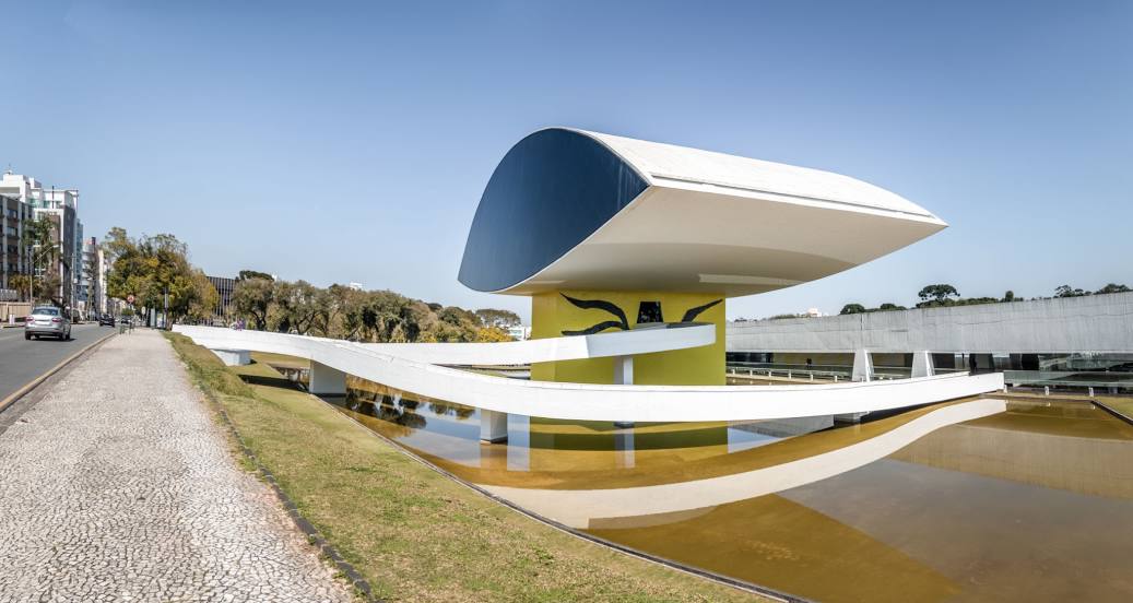
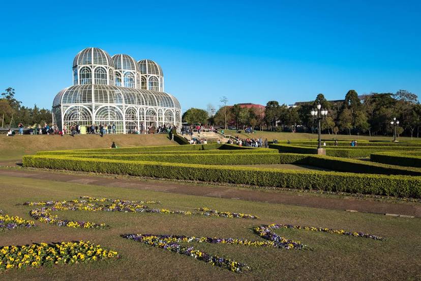
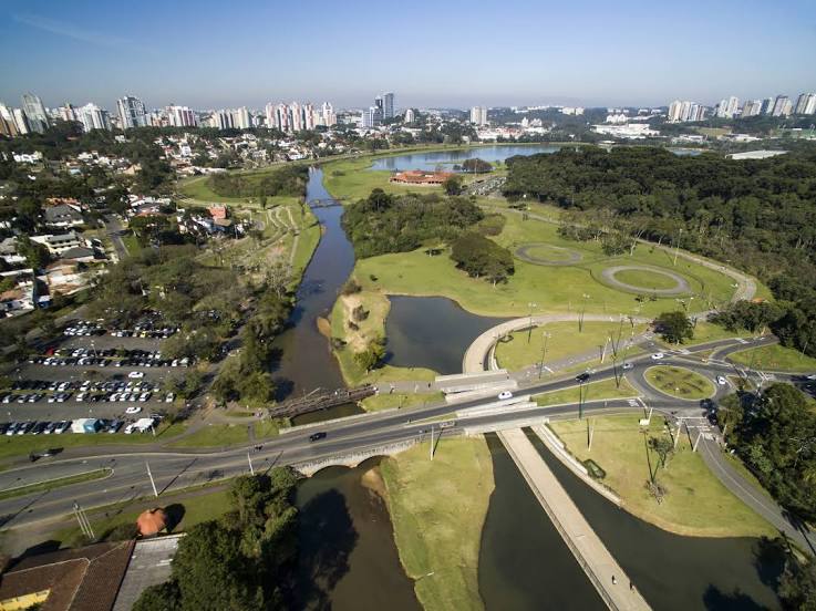
Curitiba
Arujá — Goiânia Airport
Arujá — Três Pontas
Arujá — Lagoa Formosa
Arujá — Miranda
Arujá — Lagoa Nova
Arujá — Virgínia
Arujá — Sidrolândia
Arujá — Itatiaiuçu
Arujá — Roque Gonzales
Arujá — Valência
Arujá — Flour
Arujá — Curiúva
Arujá — Igaratinga
Arujá — Pindorama
Arujá — Crato
Arujá — Inhuma
Arujá — Florestal
Arujá — Milagres
Arujá — Santa Maria
Sao Paulo International Airport
Guarulhos
Guarulhos
Tucuruvi
State of São Paulo
Centro
Lapa
Rochdale
Osasco
Pestana
Taboão da Serra
Embu das Artes
São Lourenço da Serra
Juquitiba
Miracatu
Registro
Cajati
Campina Grande do Sul
Quatro Barras
Pinhais
Curitiba Airport
Curitiba
Arujá — Curitiba distance, route on the map
Distance by car
Distance between Arujá, São Paulo, Brazil and Curitiba, State of Paraná, Brazil by car is — km, or miles. To travel this distance by car, you need minute, or h.
Route on the map, driving directions
Car route Arujá — Curitiba was created automatically. The road on the map is shown as a blue line. By moving the markers, you can create a new route through the points you need.
Passing cities through which the car route passes: Sao Paulo International Airport, Sao Paulo International Airport, Guarulhos, Guarulhos, Tucuruvi, State of São Paulo, Centro, Lapa, Rochdale, Osasco, Pestana, Taboão da Serra, Embu das Artes, São Lourenço da Serra, Juquitiba, Miracatu, Registro, Cajati, Campina Grande do Sul, Quatro Barras, Pinhais, Curitiba Airport, Curitiba.
Distance by plane
If you decide to take a trip Arujá Curitiba by plane, then you have to fly the distance — 374 km or 232 miles. It is marked on the map with a gray line (between two points in a straight line).
Flight time
Estimated flight time Arujá Curitiba by plane at cruising speed 750 km / h will be — 29 min.
Direction of movement
Brazil, Arujá — right-hand traffic. Brazil, Curitiba — right-hand traffic.
Difference in time
Arujá and Curitiba are in the same time zone. Between them there is no time difference (UTC -3 America/Sao_Paulo).
Interesting Facts
Information on alternative ways to get to your destination.
The length of this distance is about 0.9% of the total length of the equator.
The percentage of the population is clearly shown in the graph:
Arujá — 72,078 (less by 1,646,355), Curitiba — 1,718,433 residents.
The cost of travel
Calculate the cost of the trip yourself using the fuel consumption calculator, changing the data in the table.