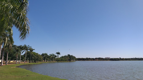
Céu Azul — Espírito Santo
Céu Azul — Castanhal
Céu Azul — Mairi
Céu Azul — Passos
Céu Azul — Sede Nova
Céu Azul — Borba
Céu Azul — Campina do Monte Alegre
Céu Azul — Santo Cristo
Céu Azul — Cabo Verde
Céu Azul — Otacílio Costa
Céu Azul — Jutaí
Céu Azul — Cheers
Céu Azul — Leópolis
Céu Azul — Murici
Céu Azul — Chaves
Céu Azul — São Miguel dos Campos
Céu Azul — Itapuí
Céu Azul — Novo Hamburgo
Céu Azul — Mirabela
Corbélia
Corbélia
Ubiratã
Juranda
Campo Mourão
Peabiru
Floresta
Paiçandu
Ângulo
Santa Fé
Anhumas
Presidente Prudente
Álvares Machado
Presidente Bernardes
Santo Anastácio
Piquerobi
Presidente Venceslau
Ouro Verde
Tupi Paulista
Nova Independência
Andradina
Castilho
Céu Azul — Três Lagoas distance, route on the map
Distance by car
Distance between Céu Azul, Paraná, Brazil and Três Lagoas, Mato Grosso do Sul, Brazil by car is — km, or miles. To travel this distance by car, you need minute, or h.
Route on the map, driving directions
Car route Céu Azul — Três Lagoas was created automatically. The road on the map is shown as a blue line. By moving the markers, you can create a new route through the points you need.
Passing cities through which the car route passes: Cascavel, Corbélia, Corbélia, Ubiratã, Juranda, Campo Mourão, Peabiru, Floresta, Paiçandu, Ângulo, Santa Fé, Anhumas, Presidente Prudente, Álvares Machado, Presidente Bernardes, Santo Anastácio, Piquerobi, Presidente Venceslau, Ouro Verde, Tupi Paulista, Nova Independência, Andradina, Castilho.
Distance by plane
If you decide to take a trip Céu Azul Três Lagoas by plane, then you have to fly the distance — 532 km or 330 miles. It is marked on the map with a gray line (between two points in a straight line).
Flight time
Estimated flight time Céu Azul Três Lagoas by plane at cruising speed 750 km / h will be — 42 min.
Direction of movement
Brazil, Céu Azul — right-hand traffic. Brazil, Três Lagoas — right-hand traffic.
Difference in time
Céu Azul and Três Lagoas are in different time zones. The time difference is 1 hour (UTC -3 America/Sao_Paulo, UTC -4 America/Campo_Grande).
Interesting Facts
Information on alternative ways to get to your destination.
The length of this distance is about 1.3% of the total length of the equator.
The percentage of the population is clearly shown in the graph:
Céu Azul — 10,440 (less by 68,274), Três Lagoas — 78,714 residents.
The cost of travel
Calculate the cost of the trip yourself using the fuel consumption calculator, changing the data in the table.