João Monlevade — Alfredo Wagner
João Monlevade — Serrinha
João Monlevade — Ibirataia
João Monlevade — Paranaguá
João Monlevade — Nova Alvorada
João Monlevade — Tabatinga
João Monlevade — Itapoá
João Monlevade — Campinas
João Monlevade — Itatinga
João Monlevade — Uruará
João Monlevade — Trovão
João Monlevade — São João do Itaperiú
João Monlevade — Amarante
João Monlevade — Paranacity
João Monlevade — Concórdia
João Monlevade — Pelotas
João Monlevade — Marcelino Ramos
João Monlevade — Araçatuba
João Monlevade — Coromandel
Timóteo
Coronel Fabriciano
Ipatinga
Ipaba
Santana do Paraíso
Naque
Valadares Governor
Frei Inocêncio
Jampruca
Campanário
Itambacuri
Teófilo Otoni
Padre Paraíso
Itaobim
Vitória da Conquista
Jequié
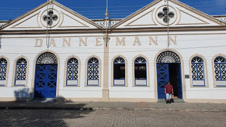
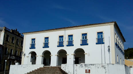
Cruz das Almas
Muritiba
João Monlevade — Alfredo Wagner
João Monlevade — Serrinha
João Monlevade — Ibirataia
João Monlevade — Paranaguá
João Monlevade — Nova Alvorada
João Monlevade — Tabatinga
João Monlevade — Itapoá
João Monlevade — Campinas
João Monlevade — Itatinga
João Monlevade — Uruará
João Monlevade — Trovão
João Monlevade — São João do Itaperiú
João Monlevade — Amarante
João Monlevade — Paranacity
João Monlevade — Concórdia
João Monlevade — Pelotas
João Monlevade — Marcelino Ramos
João Monlevade — Araçatuba
João Monlevade — Coromandel
Timóteo
Coronel Fabriciano
Ipatinga
Ipaba
Santana do Paraíso
Naque
Valadares Governor
Frei Inocêncio
Jampruca
Campanário
Itambacuri
Teófilo Otoni
Padre Paraíso
Itaobim
Vitória da Conquista
Jequié
Cruz das Almas
Muritiba
João Monlevade — Cachoeira distance, route on the map
Distance by car
Distance between João Monlevade, Minas Gerais, Brazil and Cachoeira, Bahia, Brazil by car is — km, or miles. To travel this distance by car, you need minute, or h.
Route on the map, driving directions
Car route João Monlevade — Cachoeira was created automatically. The road on the map is shown as a blue line. By moving the markers, you can create a new route through the points you need.
Passing cities through which the car route passes: Nova Era, Timóteo, Coronel Fabriciano, Ipatinga, Ipaba, Santana do Paraíso, Naque, Valadares Governor, Frei Inocêncio, Jampruca, Campanário, Itambacuri, Teófilo Otoni, Padre Paraíso, Itaobim, Vitória da Conquista, Jequié, Cruz das Almas, Muritiba.
Distance by plane
If you decide to take a trip João Monlevade Cachoeira by plane, then you have to fly the distance — 919 km or 570 miles. It is marked on the map with a gray line (between two points in a straight line).
Flight time
Estimated flight time João Monlevade Cachoeira by plane at cruising speed 750 km / h will be — 1 h. and 13 min.
Direction of movement
Brazil, João Monlevade — right-hand traffic. Brazil, Cachoeira — right-hand traffic.
Difference in time
João Monlevade and Cachoeira are in the same time zone. Between them there is no time difference (UTC -3 America/Sao_Paulo).
Interesting Facts
Information on alternative ways to get to your destination.
The length of this distance is about 2.3% of the total length of the equator.
The percentage of the population is clearly shown in the graph:
João Monlevade — 72,763, Cachoeira — 16,145 residents (less by 56,618).
The cost of travel
Calculate the cost of the trip yourself using the fuel consumption calculator, changing the data in the table.