Guaxupé — Portalegre
Guaxupé — Igreja Nova
Guaxupé — Missal
Guaxupé — Fortaleza
Guaxupé — Sobradinho
Guaxupé — Inconfidentes
Guaxupé — Quatá
Guaxupé — Lagoa Dourada
Guaxupé — Barra Mansa
Guaxupé — Ibicoara
Guaxupé — Pantano Grande
Guaxupé — Palotina
Guaxupé — Mucuri
Guaxupé — Iraquara
Guaxupé — Cajati
Guaxupé — Capitania
Guaxupé — Abreu e Lima
Guaxupé — Uberlândia
Guaxupé — Lagoa Formosa
Monte Belo
Campos Gerais
Santana da Vargem
Coqueiral
Nepomuceno
Lavras
Itutinga
São João del Rei
Tiradentes
Dores de Campos
Barroso
Barbacena
Galego
Paiva
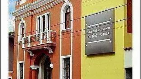
Guaxupé — Rio Pomba distance, route on the map
Distance by car
Distance between Guaxupé, Minas Gerais, Brazil and Rio Pomba, Minas Gerais, Brazil by car is — km, or miles. To travel this distance by car, you need minute, or h.
Route on the map, driving directions
Car route Guaxupé — Rio Pomba was created automatically. The road on the map is shown as a blue line. By moving the markers, you can create a new route through the points you need.
Passing cities through which the car route passes: Muzambinho, Monte Belo, Campos Gerais, Santana da Vargem, Coqueiral, Nepomuceno, Lavras, Itutinga, São João del Rei, Tiradentes, Dores de Campos, Barroso, Barbacena, Galego, Paiva.
Distance by plane
If you decide to take a trip Guaxupé Rio Pomba by plane, then you have to fly the distance — 365 km or 226 miles. It is marked on the map with a gray line (between two points in a straight line).
Flight time
Estimated flight time Guaxupé Rio Pomba by plane at cruising speed 750 km / h will be — 29 min.
Direction of movement
Brazil, Guaxupé — right-hand traffic. Brazil, Rio Pomba — right-hand traffic.
Difference in time
Guaxupé and Rio Pomba are in the same time zone. Between them there is no time difference (UTC -3 America/Sao_Paulo).
Interesting Facts
Information on alternative ways to get to your destination.
The length of this distance is about 0.9% of the total length of the equator.
The percentage of the population is clearly shown in the graph:
Guaxupé — 47,890, Rio Pomba — 13,707 residents (less by 34,183).
The cost of travel
Calculate the cost of the trip yourself using the fuel consumption calculator, changing the data in the table.