
 Dobrzyń nad Wisłą
Świnna
Mrocza
Rędziny
Radecznica
Mszana Dolna
Złotniki Kujawskie
Sieroszewice
Budzyń
Jeziorany
Szczebrzeszyn
Narol
Warta
Biała Piska
Lipsko
Płużnica
Dynów
Łukta
Czempin
Dobrzyń nad Wisłą
Świnna
Mrocza
Rędziny
Radecznica
Mszana Dolna
Złotniki Kujawskie
Sieroszewice
Budzyń
Jeziorany
Szczebrzeszyn
Narol
Warta
Biała Piska
Lipsko
Płużnica
Dynów
Łukta
Czempin
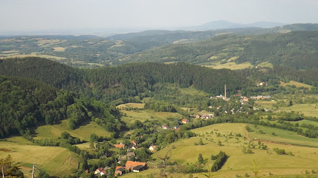
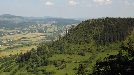
Boguszów-Gorce on the map, Poland
Where is located Boguszów-Gorce
Exact location — Boguszów-Gorce, Wałbrzych County, Lower Silesian Voivodeship, Poland, marked on the map with a red marker.
Coordinates
Boguszów-Gorce, Poland coordinates in decimal format: latitude — 50.7559487, longitude — 16.2042958. When converted to degrees, minutes, seconds Boguszów-Gorce has the following coordinates: 50°45′21.42 north latitude and 16°12′15.46 east longitude.
Population
Boguszów-Gorce, Wałbrzych County, Lower Silesian Voivodeship, Poland, according to our data the population is — 16,726 residents, which is about 0% of the total population of the country (Poland).
Comparison of the population on the graph:
Exact time
Time zone for this location Boguszów-Gorce — UTC +2 Europe/Warsaw. Exact time — monday, 4 april 2024 year, 20 h. 47 minutes.
Sunrise and sunset
Boguszów-Gorce, sunrise and sunset data for a date — monday 29.04.2024.
| Sunrise | Sunset | Day (duration) |
|---|---|---|
| 05:35 -2 minutes | 20:09 +2 minutes | 14 h. 36 minutes. +4 minutes |
You can control the scale of the map using the auxiliary tools to find out exactly where it is located Boguszów-Gorce. When you change the scale of the map, the width of the ruler also changes (in kilometers and miles).
Nearby cities
The largest cities that are located nearby:
- Walbrzych — 6 km
- Legnica — 50 km
- Wrocław — 70 km
- Opole — 121 km
- Zielona Gora — 139 km
- Prague
 (Czech Republic) — 146 km
 - Olomouc (Czech Republic) — 149 km
- Cottbus
 (Germany) — 169 km
 - Kalisz — 171 km
- Dresden (Germany) — 175 km
- Brno (Czech Republic) — 175 km
- Ostrava (Czech Republic) — 180 km
- Rybnik — 181 km
- Gliwice — 182 km
- Zabrze — 188 km
- Poznań — 189 km
- Ruda Slaska — 195 km
- Bytom — 197 km
- Chorzow — 201 km
Distance to neighboring capitals:
- Prague (Czech Republic) — 146 km
- Berlin (Germany) — 275 km
- Vienna
 (Austria) — 284 km
 - Bratislava
 (Slovakia) — 298 km
 - Budapest
 (Hungary) — 417 km
 - Copenhagen
 (Denmark) — 598 km
 - Belgrade
 (Serbia) — 736 km
 - Vilnius
 (Lithuania) — 751 km
 - Bern
 (Switzerland) — 768 km
 - Amsterdam
 (Netherlands) — 801 km
 - Minsk
 (Belarus) — 846 km
 - Rīga
 (Latvia) — 861 km
 - Kyiv
 (Ukraine) — 1010 km
 - Paris
 (France) — 1015 km
 - Bucharest
 (Romania) — 1022 km
 - Helsinki
 (Finland) — 1181 km
 - Moscow
 (Russia) — 1522 km
 - Tbilisi
 (Georgia) — 2398 km
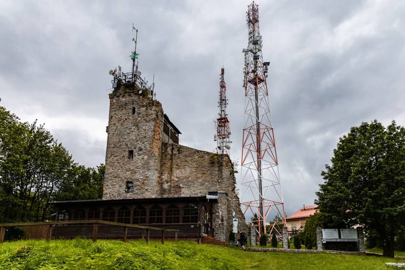
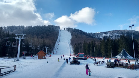
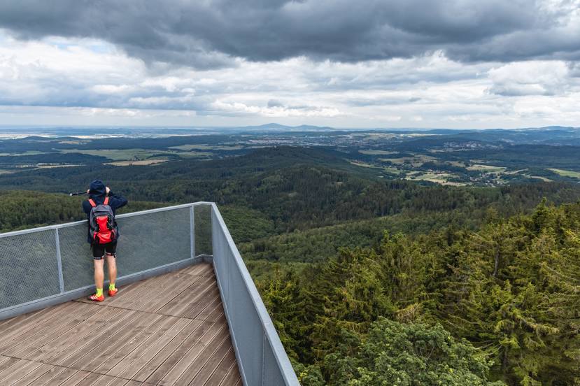
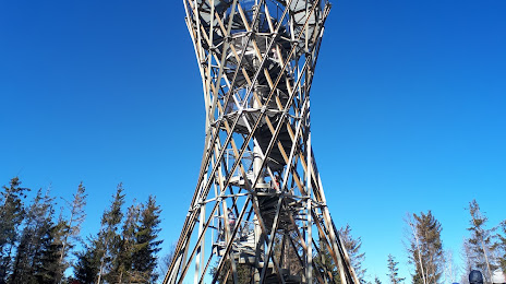
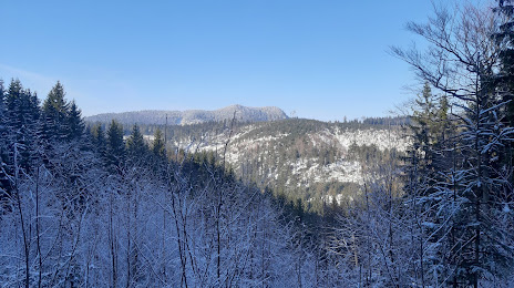
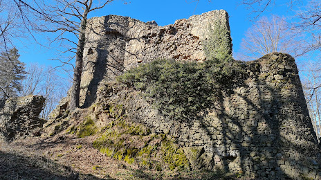
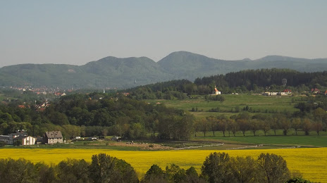
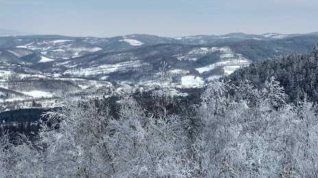
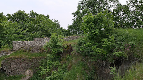
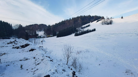
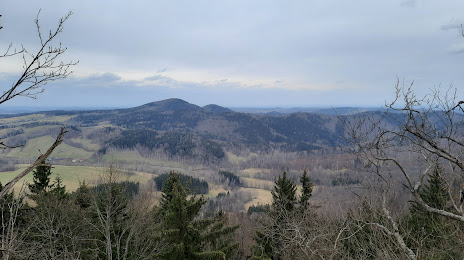
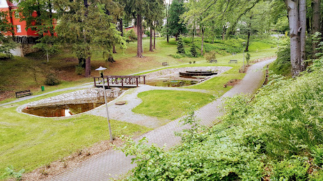
Attractions


Distance to the capital
Distance to the capital (Warsaw) is about — 371 km.