Paraopeba — Casino
Paraopeba — Ubaíra
Paraopeba — Bagé
Paraopeba — Cruz Machado
Paraopeba — Porto Rico
Paraopeba — Medeiros
Paraopeba — Vista Alegre do Alto
Paraopeba — Espirito Santo
Paraopeba — Sao Jose de Rio Preto
Paraopeba — Cruz do Espírito Santo
Paraopeba — Cuitegi
Paraopeba — Campos Sales
Paraopeba — Nonoai
Paraopeba — Marechal Cândido Rondon
Paraopeba — Carapebus
Paraopeba — Barra Mansa
Paraopeba — Palmas
Paraopeba — Vitória da Conquista
Paraopeba — Tibagi
Prudente de Morais
Capim Branco
Matozinhos
Pedro Leopoldo
Confins
Tancredo Neves International Airport
Vespasiano
Santa Luzia
Belo Horizonte/Pampulha–Carlos Drummond de Andrade Airport
Jaraguá
Sabará
Nova União
João Monlevade
São Domingos do Prata
São Domingos do Prata
Rio Casca
Santo Antônio do Grama
Abre Campo
Manhumirim
Espera Feliz
Dores do Rio Preto
Guaçuí
Alegre
Department
Jerônimo Monteiro
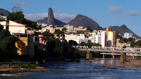
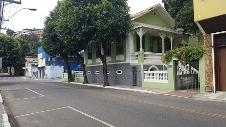
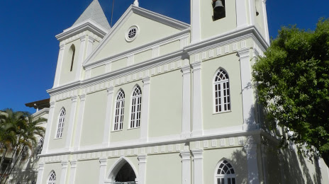
Paraopeba — Cachoeiro de Itapemirim distance, route on the map
Distance by car
Distance between Paraopeba, Minas Gerais, Brazil and Cachoeiro de Itapemirim, Espírito Santo, Brazil by car is — km, or miles. To travel this distance by car, you need minute, or h.
Route on the map, driving directions
Car route Paraopeba — Cachoeiro de Itapemirim was created automatically. The road on the map is shown as a blue line. By moving the markers, you can create a new route through the points you need.
Passing cities through which the car route passes: Sete Lagoas, Prudente de Morais, Capim Branco, Matozinhos, Pedro Leopoldo, Confins, Tancredo Neves International Airport, Vespasiano, Santa Luzia, Belo Horizonte/Pampulha–Carlos Drummond de Andrade Airport, Jaraguá, Sabará, Nova União, João Monlevade, São Domingos do Prata, São Domingos do Prata, Rio Casca, Santo Antônio do Grama, Abre Campo, Manhumirim, Espera Feliz, Dores do Rio Preto, Guaçuí, Alegre, Department, Jerônimo Monteiro.
Distance by plane
If you decide to take a trip Paraopeba Cachoeiro de Itapemirim by plane, then you have to fly the distance — 385 km or 239 miles. It is marked on the map with a gray line (between two points in a straight line).
Flight time
Estimated flight time Paraopeba Cachoeiro de Itapemirim by plane at cruising speed 750 km / h will be — 30 min.
Direction of movement
Brazil, Paraopeba — right-hand traffic. Brazil, Cachoeiro de Itapemirim — right-hand traffic.
Difference in time
Paraopeba and Cachoeiro de Itapemirim are in the same time zone. Between them there is no time difference (UTC -3 America/Sao_Paulo).
Interesting Facts
Information on alternative ways to get to your destination.
The length of this distance is about 1.0% of the total length of the equator.
The percentage of the population is clearly shown in the graph:
Paraopeba — 19,151 (less by 167,872), Cachoeiro de Itapemirim — 187,023 residents.
The cost of travel
Calculate the cost of the trip yourself using the fuel consumption calculator, changing the data in the table.