Santa Inês — Marcelino
Santa Inês — Marema
Santa Inês — Santa Brígida
Santa Inês — Oeiras
Santa Inês — São Joaquim do Monte
Santa Inês — Jequitinhonha
Santa Inês — Schroeder
Santa Inês — Riozinho
Santa Inês — Dourados
Santa Inês — Pereiras
Santa Inês — Cristais
Santa Inês — Indaial
Santa Inês — Mandaguaçu
Santa Inês — Penápolis
Santa Inês — Passa Quatro
Santa Inês — Canguçu
Santa Inês — Jandaia do Sul
Santa Inês — Itobi
Santa Inês — Rio Bananal
Bacabal
Caxias
Caxias
Timon
Teresina
Inhuma
Peaks
Vila Nova do Piauí
Araripina
Ouricuri
Salgueiro
Euclides da Cunha
Tucano
Araci
Teofilândia
Serrinha
Santa Bárbara
Feira de Santana
Estaleiro
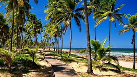
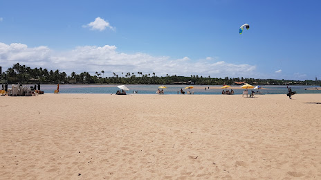
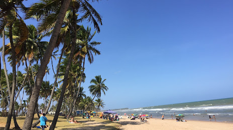
Santa Inês — Lauro de Freitas distance, route on the map
Distance by car
Distance between Santa Inês, Maranhão, Brazil and Lauro de Freitas, Bahia, Brazil by car is — km, or miles. To travel this distance by car, you need minute, or h.
Route on the map, driving directions
Car route Santa Inês — Lauro de Freitas was created automatically. The road on the map is shown as a blue line. By moving the markers, you can create a new route through the points you need.
Passing cities through which the car route passes: Pius XII, Bacabal, Caxias, Caxias, Timon, Teresina, Inhuma, Peaks, Vila Nova do Piauí, Araripina, Ouricuri, Salgueiro, Euclides da Cunha, Tucano, Araci, Teofilândia, Serrinha, Santa Bárbara, Feira de Santana, Estaleiro.
Distance by plane
If you decide to take a trip Santa Inês Lauro de Freitas by plane, then you have to fly the distance — 1287 km or 798 miles. It is marked on the map with a gray line (between two points in a straight line).
Flight time
Estimated flight time Santa Inês Lauro de Freitas by plane at cruising speed 750 km / h will be — 1 h. and 42 min.
Direction of movement
Brazil, Santa Inês — right-hand traffic. Brazil, Lauro de Freitas — right-hand traffic.
Difference in time
Santa Inês and Lauro de Freitas are in the same time zone. Between them there is no time difference (UTC -3 America/Fortaleza).
Interesting Facts
Information on alternative ways to get to your destination.
The length of this distance is about 3.2% of the total length of the equator.
The percentage of the population is clearly shown in the graph:
Santa Inês — 67,426 (less by 73,854), Lauro de Freitas — 141,280 residents.
The cost of travel
Calculate the cost of the trip yourself using the fuel consumption calculator, changing the data in the table.