São Manuel — Cana Verde
São Manuel — Adustina
São Manuel — Jaquirana
São Manuel — Piau
São Manuel — Alagoinha
São Manuel — Alto Piquiri
São Manuel — Pedro Afonso
São Manuel — Quissamã
São Manuel — Alta Floresta
São Manuel — State of Maranhão
São Manuel — São Lourenço
São Manuel — Rio Verde
São Manuel — Maribondo
São Manuel — Teodoro Sampaio
São Manuel — Porto Mauá
São Manuel — Arapongas
São Manuel — Feliciano
São Manuel — Colombo
São Manuel — Marília
Pardinho
Cesário Lange
Boituva
Araçariguama
Itapevi
Jandira
Barueri
Carapicuiba
Osasco
Rochdale
Lapa
Centro
State of São Paulo
Tucuruvi
Guarulhos
Guarulhos
Sao Paulo International Airport
Sao Paulo International Airport
Itaquaquecetuba
Arujá
Guararema
Jacareí
Aeroporto Internacional de São José dos Campos - Professor Urbano Ernesto
Jambeiro
Paraibuna
São Sebastião
São Sebastião
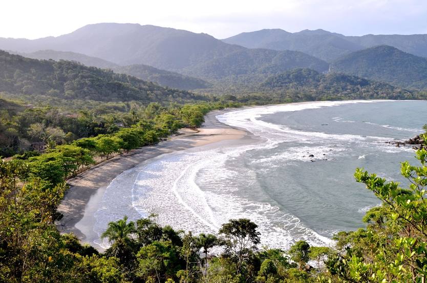
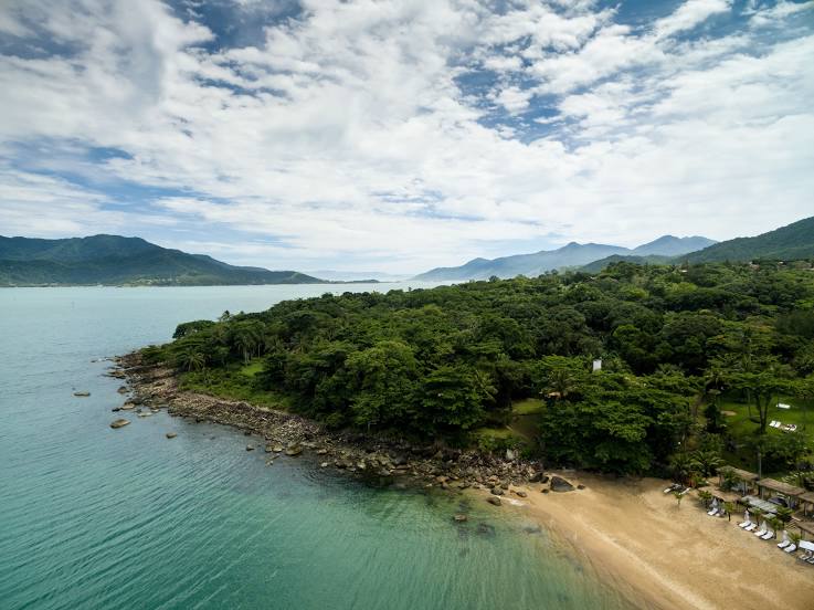
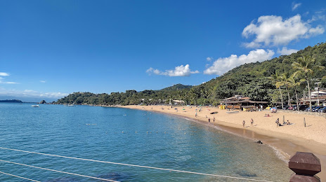
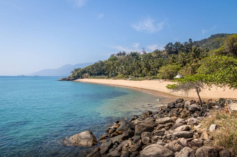
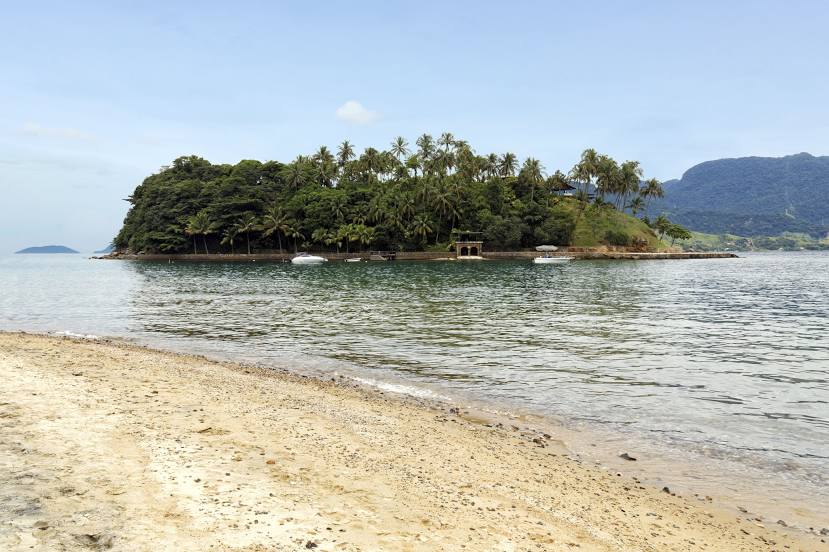
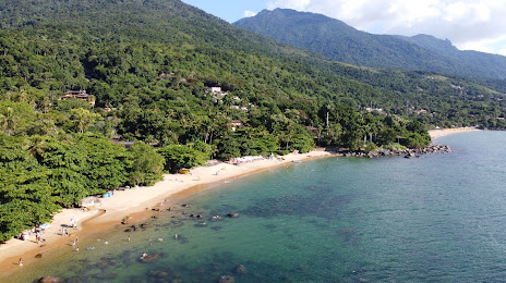
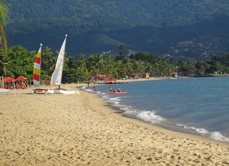
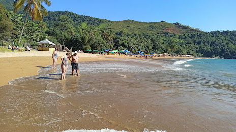
São Manuel — Ilhabela distance, route on the map
Distance by car
Distance between São Manuel, São Paulo, Brazil and Ilhabela, São Paulo, Brazil by car is — km, or miles. To travel this distance by car, you need minute, or h.
Route on the map, driving directions
Car route São Manuel — Ilhabela was created automatically. The road on the map is shown as a blue line. By moving the markers, you can create a new route through the points you need.
Passing cities through which the car route passes: Botucatu, Pardinho, Cesário Lange, Boituva, Araçariguama, Itapevi, Jandira, Barueri, Carapicuiba, Osasco, Rochdale, Lapa, Centro, State of São Paulo, Tucuruvi, Guarulhos, Guarulhos, Sao Paulo International Airport, Sao Paulo International Airport, Itaquaquecetuba, Arujá, Guararema, Jacareí, Aeroporto Internacional de São José dos Campos - Professor Urbano Ernesto, Jambeiro, Paraibuna, São Sebastião, São Sebastião.
Distance by plane
If you decide to take a trip São Manuel Ilhabela by plane, then you have to fly the distance — 349 km or 216 miles. It is marked on the map with a gray line (between two points in a straight line).
Flight time
Estimated flight time São Manuel Ilhabela by plane at cruising speed 750 km / h will be — 27 min.
Direction of movement
Brazil, São Manuel — right-hand traffic. Brazil, Ilhabela — right-hand traffic.
Difference in time
São Manuel and Ilhabela are in the same time zone. Between them there is no time difference (UTC -3 America/Sao_Paulo).
Interesting Facts
Information on alternative ways to get to your destination.
The length of this distance is about 0.9% of the total length of the equator.
The percentage of the population is clearly shown in the graph:
São Manuel — 33,588, Ilhabela — 32,903 residents (less by 685).
The cost of travel
Calculate the cost of the trip yourself using the fuel consumption calculator, changing the data in the table.