Taguatinga — Uberaba
Taguatinga — Tamarana
Taguatinga — Cornélio Procópio
Taguatinga — Alto Piquiri
Taguatinga — Patos
Taguatinga — Guiricema
Taguatinga — Buriti Alegre
Taguatinga — Santa Cruz da Vitória
Taguatinga — Catanduva
Taguatinga — Manaus
Taguatinga — Entre Rios
Taguatinga — Ubiratã
Taguatinga — Morro da Fumaça
Taguatinga — Km 47
Taguatinga — Nova Russas
Taguatinga — Coruripe
Taguatinga — Araçatuba
Taguatinga — Porciúncula
Taguatinga — Pinhão
Cristalina
Paracatu
João Pinheiro
Três Marias
Paraopeba
Sete Lagoas
Ribeirão das Neves
Ribeirão das Neves
Contagem
Calafate
Barreiro
Itabirito
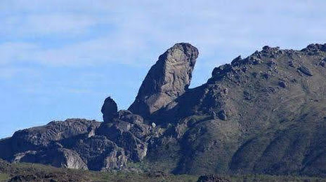
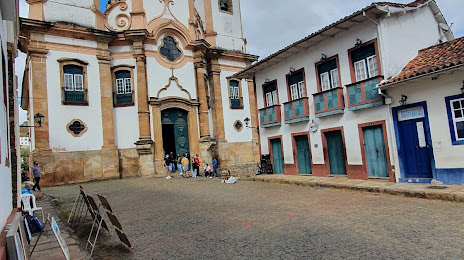
Ouro Preto
Taguatinga — Uberaba
Taguatinga — Tamarana
Taguatinga — Cornélio Procópio
Taguatinga — Alto Piquiri
Taguatinga — Patos
Taguatinga — Guiricema
Taguatinga — Buriti Alegre
Taguatinga — Santa Cruz da Vitória
Taguatinga — Catanduva
Taguatinga — Manaus
Taguatinga — Entre Rios
Taguatinga — Ubiratã
Taguatinga — Morro da Fumaça
Taguatinga — Km 47
Taguatinga — Nova Russas
Taguatinga — Coruripe
Taguatinga — Araçatuba
Taguatinga — Porciúncula
Taguatinga — Pinhão
Cristalina
Paracatu
João Pinheiro
Três Marias
Paraopeba
Sete Lagoas
Ribeirão das Neves
Ribeirão das Neves
Contagem
Calafate
Barreiro
Itabirito
Ouro Preto
Taguatinga — Ouro Preto distance, route on the map
Distance by car
Distance between Taguatinga, Distrito Federal, Brazil and Ouro Preto, Minas Gerais, Brazil by car is — km, or miles. To travel this distance by car, you need minute, or h.
Route on the map, driving directions
Car route Taguatinga — Ouro Preto was created automatically. The road on the map is shown as a blue line. By moving the markers, you can create a new route through the points you need.
Passing cities through which the car route passes: Luziânia, Cristalina, Paracatu, João Pinheiro, Três Marias, Paraopeba, Sete Lagoas, Ribeirão das Neves, Ribeirão das Neves, Contagem, Calafate, Barreiro, Itabirito, Ouro Preto.
Distance by plane
If you decide to take a trip Taguatinga Ouro Preto by plane, then you have to fly the distance — 701 km or 435 miles. It is marked on the map with a gray line (between two points in a straight line).
Flight time
Estimated flight time Taguatinga Ouro Preto by plane at cruising speed 750 km / h will be — 56 min.
Direction of movement
Brazil, Taguatinga — right-hand traffic. Brazil, Ouro Preto — right-hand traffic.
Difference in time
Taguatinga and Ouro Preto are in the same time zone. Between them there is no time difference (UTC -3 America/Sao_Paulo).
Interesting Facts
Information on alternative ways to get to your destination.
The length of this distance is about 1.7% of the total length of the equator.
The percentage of the population is clearly shown in the graph:
Taguatinga — 13,711 (less by 49,967), Ouro Preto — 63,678 residents.
The cost of travel
Calculate the cost of the trip yourself using the fuel consumption calculator, changing the data in the table.