Onda Verde — Meleiro
Onda Verde — Belo Horizonte
Onda Verde — Pendência
Onda Verde — São Miguel do Oeste
Onda Verde — Messias
Onda Verde — Itaporã
Onda Verde — Monte Aprazível
Onda Verde — Fundão
Onda Verde — Itamogi
Onda Verde — Bandeira do Sul
Onda Verde — Trairi
Onda Verde — Ubatuba
Onda Verde — Ponte Nova
Onda Verde — Nova Petrópolis
Onda Verde — Vila Boa
Onda Verde — Triunfo
Onda Verde — Itarana
Onda Verde — Boa Esperança
Onda Verde — Casimiro de Abreu
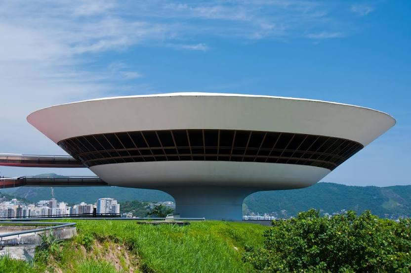
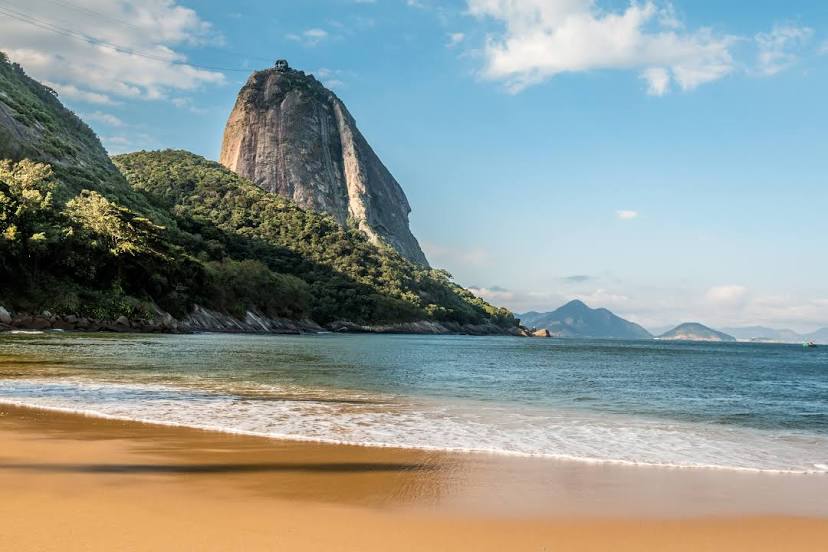
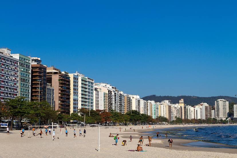
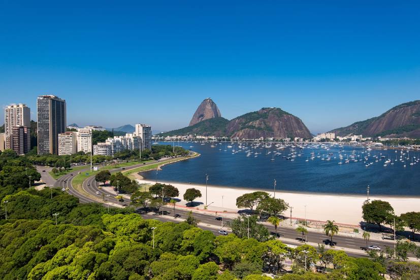
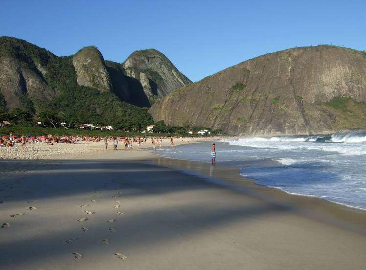
Onda Verde — Niterói distance, route on the map
Distance by car
Distance between Onda Verde, São Paulo, Brazil and Niterói, State of Rio de Janeiro, Brazil by car is — km, or miles. To travel this distance by car, you need minute, or h.
Route on the map, driving directions
Car route Onda Verde — Niterói was created automatically. The road on the map is shown as a blue line. By moving the markers, you can create a new route through the points you need.
Distance by plane
If you decide to take a trip Onda Verde Niterói by plane, then you have to fly the distance — 687 km or 426 miles. It is marked on the map with a gray line (between two points in a straight line).
Flight time
Estimated flight time Onda Verde Niterói by plane at cruising speed 750 km / h will be — 54 min.
Direction of movement
Brazil, Onda Verde — right-hand traffic. Brazil, Niterói — right-hand traffic.
Difference in time
Onda Verde and Niterói are in the same time zone. Between them there is no time difference (UTC -3 America/Sao_Paulo).
Interesting Facts
Information on alternative ways to get to your destination.
The length of this distance is about 1.7% of the total length of the equator.
The percentage of the population is clearly shown in the graph:
Onda Verde — 2,919 (less by 453,542), Niterói — 456,461 residents.
The cost of travel
Calculate the cost of the trip yourself using the fuel consumption calculator, changing the data in the table.