Guanambi — Olímpio Noronha
Guanambi — Cajati
Guanambi — State of Alagoas
Guanambi — Canaã dos Carajás
Guanambi — Querência
Guanambi — Macuco
Guanambi — Esperantina
Guanambi — Terra de Areia
Guanambi — Ibimirim
Guanambi — Dom Feliciano
Guanambi — Descoberto
Guanambi — São Joaquim do Monte
Guanambi — Campo Belo
Guanambi — Salina
Guanambi — Três Marias
Guanambi — Sarandi
Guanambi — Campo Largo
Guanambi — Martinho Campos
Guanambi — Tubarão
Brumado
Santo Estêvão
Feira de Santana
Teodoro Sampaio
Alagoinhas
Entre Rios
Esplanada
Estância
São Cristóvão
Laranjeiras
Maruim
Igreja Nova
Junqueiro
São Miguel dos Campos
Pilar
Urubá
Rio Largo
Messias
Flexeiras
Joaquim Gomes
Palmares
Joaquim Nabuco
Gameleira
Escada
Cabo de Santo Agostinho
Jaboatão dos Guararapes
Jaboatão dos Guararapes
Recife International Airport
Camaragibe
Abreu e Lima
Crown airfield airplane
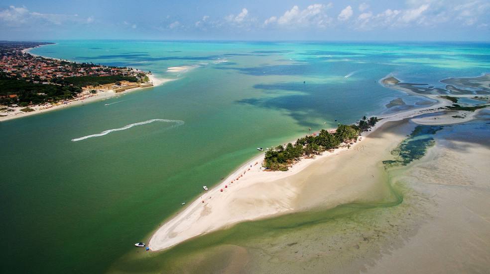
Guanambi — Igarassu distance, route on the map
Distance by car
Distance between Guanambi, Bahia, Brazil and Igarassu, Pernambuco, Brazil by car is — km, or miles. To travel this distance by car, you need minute, or h.
Route on the map, driving directions
Car route Guanambi — Igarassu was created automatically. The road on the map is shown as a blue line. By moving the markers, you can create a new route through the points you need.
Passing cities through which the car route passes: Caetité, Brumado, Santo Estêvão, Feira de Santana, Teodoro Sampaio, Alagoinhas, Entre Rios, Esplanada, Estância, São Cristóvão, Laranjeiras, Maruim, Igreja Nova, Junqueiro, São Miguel dos Campos, Pilar, Urubá, Rio Largo, Messias, Flexeiras, Joaquim Gomes, Palmares, Joaquim Nabuco, Gameleira, Escada, Cabo de Santo Agostinho, Jaboatão dos Guararapes, Jaboatão dos Guararapes, Recife International Airport, Camaragibe, Abreu e Lima, Crown airfield airplane.
Distance by plane
If you decide to take a trip Guanambi Igarassu by plane, then you have to fly the distance — 1115 km or 691 miles. It is marked on the map with a gray line (between two points in a straight line).
Flight time
Estimated flight time Guanambi Igarassu by plane at cruising speed 750 km / h will be — 1 h. and 29 min.
Direction of movement
Brazil, Guanambi — right-hand traffic. Brazil, Igarassu — right-hand traffic.
Difference in time
Guanambi and Igarassu are in the same time zone. Between them there is no time difference (UTC -3 America/Fortaleza).
Interesting Facts
Information on alternative ways to get to your destination.
The length of this distance is about 2.8% of the total length of the equator.
The percentage of the population is clearly shown in the graph:
Guanambi — 58,879 (less by 27,579), Igarassu — 86,458 residents.
The cost of travel
Calculate the cost of the trip yourself using the fuel consumption calculator, changing the data in the table.