Pimenta Bueno — Tefé
Pimenta Bueno — Piracaia
Pimenta Bueno — Brazabrantes
Pimenta Bueno — Cachoeira
Pimenta Bueno — Chuí
Pimenta Bueno — São Jerônimo
Pimenta Bueno — Campina Verde
Pimenta Bueno — Cedro
Pimenta Bueno — Coronel Vivida
Pimenta Bueno — São Pedro da União
Pimenta Bueno — Cianorte
Pimenta Bueno — Ibiraquera
Pimenta Bueno — Santo Antônio do Amparo
Pimenta Bueno — Rondonópolis
Pimenta Bueno — Uruará
Pimenta Bueno — Gabriel Lobo
Pimenta Bueno — Macaé
Pimenta Bueno — Gouveia
Pimenta Bueno — Veríssimo
Presidente Médici
Ji-Paraná
Ouro Preto do Oeste
Jaru
Ariquemes
Itapuã do Oeste
Porto Velho
Humaitá
Careiro
Pimenta Bueno — Manaus distance, route on the map
Distance by car
Distance between Pimenta Bueno, Rondônia, Brazil and Manaus, Amazonas, Brazil by car is — km, or miles. To travel this distance by car, you need minute, or h.
Route on the map, driving directions
Car route Pimenta Bueno — Manaus was created automatically. The road on the map is shown as a blue line. By moving the markers, you can create a new route through the points you need.
Passing cities through which the car route passes: Cacoal, Presidente Médici, Ji-Paraná, Ouro Preto do Oeste, Jaru, Ariquemes, Itapuã do Oeste, Porto Velho, Humaitá, Careiro.
Distance by plane
If you decide to take a trip Pimenta Bueno Manaus by plane, then you have to fly the distance — 960 km or 595 miles. It is marked on the map with a gray line (between two points in a straight line).
Flight time
Estimated flight time Pimenta Bueno Manaus by plane at cruising speed 750 km / h will be — 1 h. and 16 min.
Direction of movement
Brazil, Pimenta Bueno — right-hand traffic. Brazil, Manaus — right-hand traffic.
Difference in time
Pimenta Bueno and Manaus are in the same time zone. Between them there is no time difference (UTC -4 America/Boa_Vista).
Interesting Facts
Information on alternative ways to get to your destination.
The length of this distance is about 2.4% of the total length of the equator.
The percentage of the population is clearly shown in the graph:
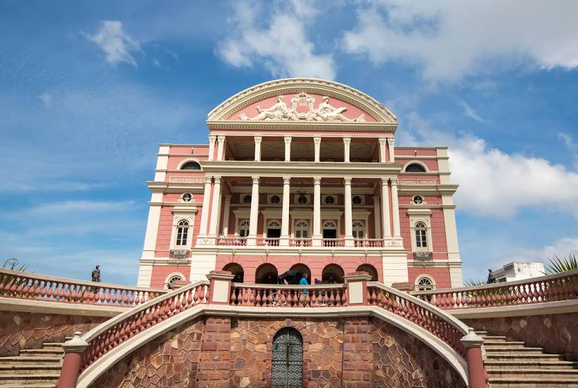
Pimenta Bueno — 25,785 (less by 1,572,442), Manaus — 1,598,227 residents.
The cost of travel
Calculate the cost of the trip yourself using the fuel consumption calculator, changing the data in the table.