
 La Encina
Huércal-Overa
Orbita
Marchena
Callosa de Segura
Santa Ana
Utiel
Alcalá la Real
Lora del Río
Morella
Sierrapando
Píñar
La Juliana
Mieres del Camino
Moriscos
Campuzano
Cristina
Biure
Villacadima
La Encina
Huércal-Overa
Orbita
Marchena
Callosa de Segura
Santa Ana
Utiel
Alcalá la Real
Lora del Río
Morella
Sierrapando
Píñar
La Juliana
Mieres del Camino
Moriscos
Campuzano
Cristina
Biure
Villacadima
Alcantarilla on the map, Spain
Where is located Alcantarilla
Exact location — Alcantarilla, Murcia, Región de Murcia, Spain, marked on the map with a red marker.
Coordinates
Alcantarilla, Spain coordinates in decimal format: latitude — 37.9695167, longitude — -1.2193422. When converted to degrees, minutes, seconds Alcantarilla has the following coordinates: 37°58′10.26 north latitude and -1°13′9.63 east longitude.
Population
Alcantarilla, Murcia, Región de Murcia, Spain, according to our data the population is — 37,969 residents, which is about 0.1% of the total population of the country (Spain).
Comparison of the population on the graph:
Exact time
Time zone for this location Alcantarilla — UTC +2 Europe/Madrid. Exact time — friday, 5 may 2024 year, 09 h. 11 minutes.
Sunrise and sunset
Alcantarilla, sunrise and sunset data for a date — friday 10.05.2024.
| Sunrise | Sunset | Day (duration) |
|---|---|---|
| 07:01 -1 minute | 21:00 +1 minute | 14 h. 0 minutes. +2 minutes |
You can control the scale of the map using the auxiliary tools to find out exactly where it is located Alcantarilla. When you change the scale of the map, the width of the ruler also changes (in kilometers and miles).
Nearby cities
The largest cities that are located nearby:
- Murcia — 8 km
- Cartagena — 43 km
- Albacete — 126 km
- Almería — 167 km
- Valencia — 181 km
- Jaén — 225 km
- Granada — 227 km
- Oran
 (Algeria) — 257 km
 - Relizane (Algeria) — 294 km
- Chlef (Algeria) — 303 km
- Sidi Bel Abbes (Algeria) — 311 km
- Córdoba — 311 km
- Málaga — 316 km
- Alcala de Henares — 331 km
- Torrejón de Ardoz — 334 km
- Getafe — 334 km
- Fuenlabrada — 337 km
- Leganés — 338 km
- Tlemcen (Algeria) — 341 km
Distance to neighboring capitals:
- Andorra la Vella
 (Andorra) — 556 km
 - Rabat
 (Morocco) — 674 km
 - Lisbon
 (Portugal) — 696 km
 - Paris
 (France) — 1244 km
 - Paris (France) — 1244 km
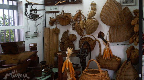
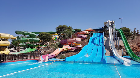
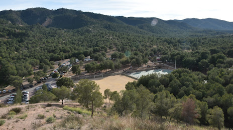
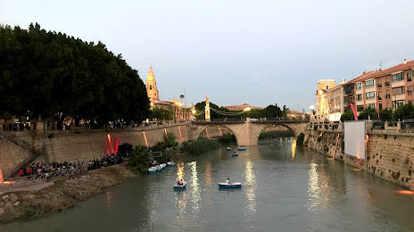
Attractions


Distance to the capital
Distance to the capital (Madrid) is about — 346 km.