
 Nedvigovka
Belikov
Ilovlya
Tegra
Vitim
Lunacharskiy
Gorokhovets
Vyazniki
Beregovoy
Proletarsk
Svetlograd
Grekovo
Sharlyk
Slavyansk-na-Kubani
Saratovskiy
Valuyki
Sharan
Kagalnik
Petrovskiy
Nedvigovka
Belikov
Ilovlya
Tegra
Vitim
Lunacharskiy
Gorokhovets
Vyazniki
Beregovoy
Proletarsk
Svetlograd
Grekovo
Sharlyk
Slavyansk-na-Kubani
Saratovskiy
Valuyki
Sharan
Kagalnik
Petrovskiy
Kondopoga on the map, Russian Federation
Where is located Kondopoga
Exact location — Kondopoga, Kondopozhskiy rayon, Kareliya Republits, Russia, marked on the map with a red marker.
Coordinates
Kondopoga, Russian Federation coordinates in decimal format: latitude — 62.1965932, longitude — 34.2703517. When converted to degrees, minutes, seconds Kondopoga has the following coordinates: 62°11′47.74 north latitude and 34°16′13.27 east longitude.
Population
Kondopoga, Kondopozhskiy rayon, Kareliya Republits, Russia, according to our data the population is — 34,360 residents, which is about 0% of the total population of the country (Russian Federation).
Comparison of the population on the graph:
Exact time
Time zone for this location Kondopoga — UTC +3 Europe/Moscow. Exact time — friday, 5 may 2024 year, 09 h. 22 minutes.
Sunrise and sunset
Kondopoga, sunrise and sunset data for a date — friday 10.05.2024.
| Sunrise | Sunset | Day (duration) |
|---|---|---|
| 04:06 -3 minutes | 21:12 +3 minutes | 17 h. 6 minutes. +6 minutes |
You can control the scale of the map using the auxiliary tools to find out exactly where it is located Kondopoga. When you change the scale of the map, the width of the ruler also changes (in kilometers and miles).
Nearby cities
The largest cities that are located nearby:
- Petrozavodsk — 46 km
- Saint Petersburg — 332 km
- Kolpino — 341 km
- Severodvinsk — 373 km
- Arkhangelsk — 396 km
- Cherepovets — 397 km
- Vologda — 458 km
- Oulu
 (Finland) — 516 km
 - Rybinsk — 531 km
- Vantaa (Finland) — 548 km
- Helsinki (Finland) — 560 km
- Tampere (Finland) — 560 km
- Espoo (Finland) — 572 km
- Pskov — 597 km
- Tver — 598 km
- Yaroslavl — 605 km
- Tartu
 (Estonia) — 608 km
 - Tallinn (Estonia) — 616 km
- Kostroma — 628 km
Distance to neighboring capitals:
- Helsinki (Finland) — 548 km
- Tallinn (Estonia) — 600 km
- Mariehamn (Åland Islands) — 802 km
- Rīga
 (Latvia) — 816 km
 - Stockholm
 (Sweden) — 940 km
 - Vilnius
 (Lithuania) — 984 km
 - Minsk
 (Belarus) — 1002 km
 - Oslo
 (Norway) — 1284 km
 - Kyiv
 (Ukraine) — 1326 km
 - Warsaw
 (Poland) — 1361 km
 - Prague
 (Czech Republic) — 1810 km
 - Bucharest
 (Romania) — 2046 km
 - Tbilisi
 (Georgia) — 2382 km
 - Astana
 (Kazakhstan) — 2534 km
 - Yerevan
 (Armenia) — 2543 km
 - Tehran
 (Iran) — 3180 km
 - Khan-Uul
 (Mongolian) — 4609 km
 - Kathmandu
 (Nepal) — 5325 km
 - Beijing
 (China) — 5778 km
 - Pyongyang
 (North Korea) — 6317 km
 - Seoul
 (South Korea) — 6512 km
 - Hanoi
 (Vietnam) — 6999 km
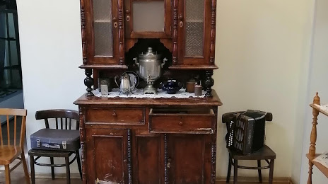
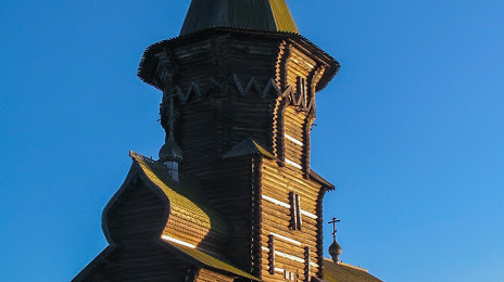
Attractions
Distance to the capital
Distance to the capital (Moscow) is about — 741 km.