Diamantino — Zico
Diamantino — Mongaguá
Diamantino — Serra Azul
Diamantino — Chapadinha
Diamantino — Santa Cruz da Vitória
Diamantino — Senhor do Bonfim
Diamantino — São Domingos do Prata
Diamantino — Jardim de Piranhas
Diamantino — Cristal
Diamantino — Saudades
Diamantino — Pires do Rio
Diamantino — Santa Isabel
Diamantino — Lagoa da Prata
Diamantino — Campos Lindos
Diamantino — Alambari
Diamantino — Altair
Diamantino — Campos dos Goytacazes
Diamantino — Breves
Diamantino — Nova Era
Rosário Oeste
Cuiaba
Jaciara
Rondonópolis
Coxim
Coxim
Rio Verde de Mato Grosso
Campo Grande
Nova Alvorada do Sul
Teodoro Sampaio
Centenário do Sul
Jaguapitã
Rolândia
Arapongas
Apucarana
Marilândia do Sul
Ponta Grossa
Campo Largo
Campo Magro
São José dos Pinhais
Marcelino
Garuva
Joinville
São João do Itaperiú
Diamantino — Barra Velha distance, route on the map
Distance by car
Distance between Diamantino, Mato Grosso, Brazil and Barra Velha, Santa Catarina, Brazil by car is — km, or miles. To travel this distance by car, you need minute, or h.
Route on the map, driving directions
Car route Diamantino — Barra Velha was created automatically. The road on the map is shown as a blue line. By moving the markers, you can create a new route through the points you need.
Passing cities through which the car route passes: Nobres, Rosário Oeste, Cuiaba, Jaciara, Rondonópolis, Coxim, Coxim, Rio Verde de Mato Grosso, Campo Grande, Nova Alvorada do Sul, Teodoro Sampaio, Centenário do Sul, Jaguapitã, Rolândia, Arapongas, Apucarana, Marilândia do Sul, Ponta Grossa, Campo Largo, Campo Magro, São José dos Pinhais, Marcelino, Garuva, Joinville, São João do Itaperiú.
Distance by plane
If you decide to take a trip Diamantino Barra Velha by plane, then you have to fly the distance — 1581 km or 980 miles. It is marked on the map with a gray line (between two points in a straight line).
Flight time
Estimated flight time Diamantino Barra Velha by plane at cruising speed 750 km / h will be — 2 h. and 6 min.
Direction of movement
Brazil, Diamantino — right-hand traffic. Brazil, Barra Velha — right-hand traffic.
Difference in time
Diamantino and Barra Velha are in different time zones. The time difference is 1 hour (UTC -4 America/Campo_Grande, UTC -3 America/Sao_Paulo).
Interesting Facts
Information on alternative ways to get to your destination.
The length of this distance is about 3.9% of the total length of the equator.
The percentage of the population is clearly shown in the graph:
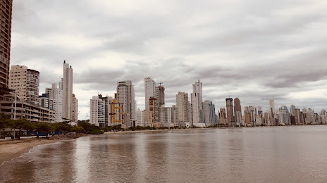
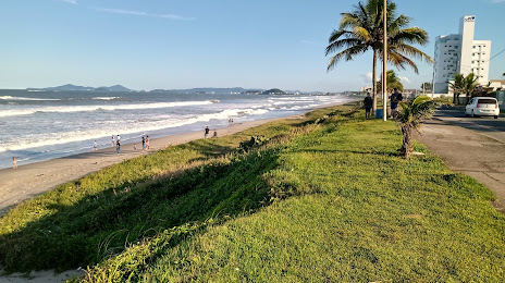
Diamantino — 15,700 (less by 1,965), Barra Velha — 17,665 residents.
The cost of travel
Calculate the cost of the trip yourself using the fuel consumption calculator, changing the data in the table.