
 Mikhaylovka
Dyrestuy
Mikhaylovka
Mayskiy
Novobessergenevka
Tersky District
Lesnoy
Tertezh
Kuz'minskiye Otverzhki
Mikhaylovka
Dyrestuy
Mikhaylovka
Mayskiy
Novobessergenevka
Tersky District
Lesnoy
Tertezh
Kuz'minskiye Otverzhki
State Historical Museum on the map, Moscow, Russian Federation
Photo
Where is located State Historical Museum
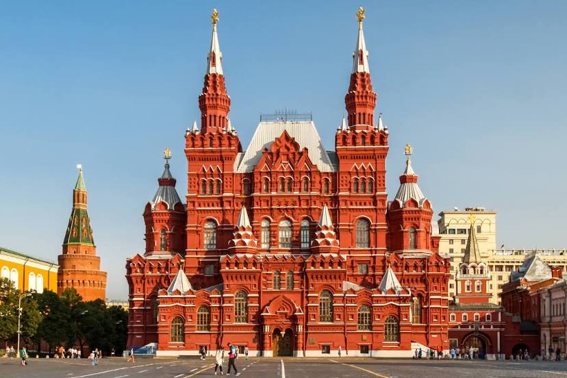
State Historical Museum — local attraction, which is located at Red Square, 1, Moscow, 109012 and belongs to the category — museum. Average visitor rating for this place — 4.6 (according to 1772 ratings, information from open sources and relevant for 2022).
Exact location — State Historical Museum, marked on the map with a red marker.
You can get directions to State Historical Museum on the map from your location.
What else is interesting in Moscow? You can see all the sights if you go to the city page.
Coordinates
State Historical Museum, Russian Federation coordinates in decimal format: latitude — 55.75547585957329, longitude — 37.61784739845558. When converted to degrees, minutes, seconds State Historical Museum has the following coordinates: 55°45′19.71 north latitude and 37°37′4.25 east longitude.
Nearby cities
The largest cities that are located nearby:
- Khimki — 19 km
- Lyubertsy — 19 km
- Izmaylovo — 21 km
- Balashikha — 23 km
- Odintsovo — 24 km
- Pushkino — 30 km
- Podolsk — 36 km
- Zelenograd — 38 km
- Elektrostal — 53 km
- Noginsk — 54 km
- Orekhovo-Zuyevo — 84 km
- Serpukhov — 93 km
- Obninsk — 96 km
- Kolomna — 103 km
- Kaluga — 158 km
- Tver — 159 km
- Tula — 171 km
- Vladimir — 178 km
- Ryazan — 185 km