
 Mikhaylovka
Dyrestuy
Mikhaylovka
Mayskiy
Novobessergenevka
Tersky District
Lesnoy
Tertezh
Kuz'minskiye Otverzhki
Mikhaylovka
Dyrestuy
Mikhaylovka
Mayskiy
Novobessergenevka
Tersky District
Lesnoy
Tertezh
Kuz'minskiye Otverzhki
Roshcha on the map, Saratov, Russian Federation
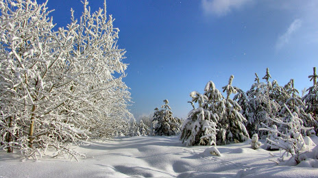
Photo
Where is located Roshcha
Roshcha — local attraction, which is located at Im.cyvopova A.b. Ulitsa, 63 А, Saratov, Saratov Oblast, 410040 and belongs to the category — ski resort. Average visitor rating for this place — 4.4 (according to 784 ratings, information from open sources and relevant for 2022).
Exact location — Roshcha, marked on the map with a red marker.
You can get directions to Roshcha on the map from your location.
What else is interesting in Saratov? You can see all the sights if you go to the city page.
Coordinates
Roshcha, Russian Federation coordinates in decimal format: latitude — 51.56063852414493, longitude — 45.97450079829687. When converted to degrees, minutes, seconds Roshcha has the following coordinates: 51°33′38.3 north latitude and 45°58′28.2 east longitude.
Nearby cities
The largest cities that are located nearby:
- Engels — 8 km
- Balakovo — 132 km
- Kamyshin — 166 km
- Penza — 196 km
- Syzran — 243 km
- Saransk — 298 km
- Novokuybyshevsk — 312 km
- Tolyatti — 313 km
- Volzhskiy — 316 km
- Samara — 330 km
- Volgograd — 332 km
- Tambov — 334 km
- Ulyanovsk — 343 km
- Dimitrovgrad — 376 km
- Lipetsk — 447 km
- Arzamas — 449 km
- Voronezh — 467 km
- Zelenodolsk — 502 km
- Kazan — 509 km
Distance to the capital
Distance to the capital (Moscow) is about — 721 km.