
 Mikhaylovka
Dyrestuy
Mikhaylovka
Mayskiy
Novobessergenevka
Tersky District
Lesnoy
Tertezh
Kuz'minskiye Otverzhki
Mikhaylovka
Dyrestuy
Mikhaylovka
Mayskiy
Novobessergenevka
Tersky District
Lesnoy
Tertezh
Kuz'minskiye Otverzhki
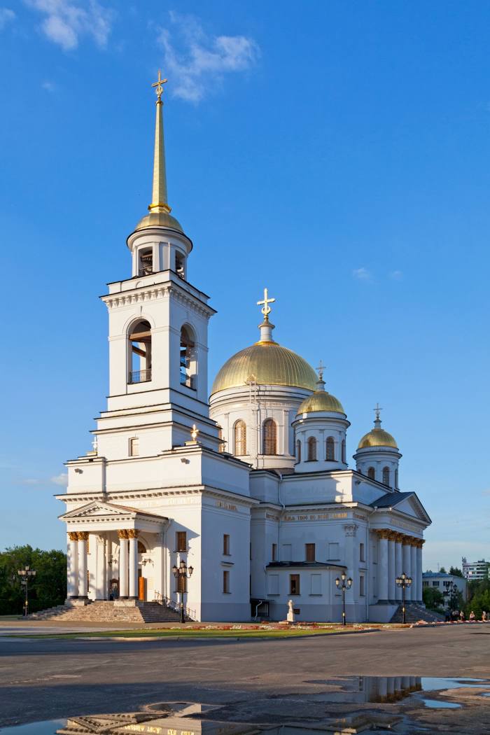
Novo-Tikhvinskiy Zhenskiy Monastyr' on the map, Yekaterinburg, Russian Federation
Photo
Where is located Novo-Tikhvinskiy Zhenskiy Monastyr'
Novo-Tikhvinskiy Zhenskiy Monastyr' — local attraction, which is located at Ulitsa Zelenaya Roshcha, 1, Yekaterinburg, Sverdlovsk Oblast, 620144 and belongs to the category — monastery. Average visitor rating for this place — 4.8 (according to 544 ratings, information from open sources and relevant for 2022).
Exact location — Novo-Tikhvinskiy Zhenskiy Monastyr', marked on the map with a red marker.
You can get directions to Novo-Tikhvinskiy Zhenskiy Monastyr' on the map from your location.
What else is interesting in Yekaterinburg? You can see all the sights if you go to the city page.
Coordinates
Novo-Tikhvinskiy Zhenskiy Monastyr', Russian Federation coordinates in decimal format: latitude — 56.822644353541115, longitude — 60.60001039849726. When converted to degrees, minutes, seconds Novo-Tikhvinskiy Zhenskiy Monastyr' has the following coordinates: 56°49′21.52 north latitude and 60°36′0.04 east longitude.
Nearby cities
The largest cities that are located nearby:
- Pervouralsk — 40 km
- Chelyabinsk — 192 km
- Zlatoust — 194 km
- Miass — 206 km
- Perm — 282 km
- Tyumen — 297 km
- Kurgan — 334 km
- Berezniki — 357 km
- Ufa — 376 km
- Solikamsk — 378 km
- Magnitogorsk — 393 km
- Neftekamsk — 398 km
- Sarapul — 418 km
- Kostanay
 (Kazakhstan) — 448 km
 - Izhevsk — 449 km
- Sterlitamak — 468 km
- Glazov — 485 km
- Salavat — 492 km
- Nizhnekamsk — 565 km
Distance to the capital
Distance to the capital (Moscow) is about — 1417 km.