
 Mikhaylovka
Dyrestuy
Mikhaylovka
Mayskiy
Novobessergenevka
Tersky District
Lesnoy
Tertezh
Kuz'minskiye Otverzhki
Mikhaylovka
Dyrestuy
Mikhaylovka
Mayskiy
Novobessergenevka
Tersky District
Lesnoy
Tertezh
Kuz'minskiye Otverzhki
Tambovskaya Oblastnaya Kartinnaya Galereya on the map, Tambov, Russian Federation
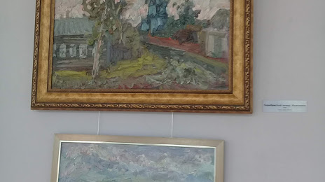
Photo
Where is located Tambovskaya Oblastnaya Kartinnaya Galereya
Tambovskaya Oblastnaya Kartinnaya Galereya — local attraction, which is located at Ulitsa Sovetskaya, 97, Tambov, Tambov Oblast, 392000 and belongs to the category — art gallery. Average visitor rating for this place — 4.6 (according to 240 ratings, information from open sources and relevant for 2022).
Exact location — Tambovskaya Oblastnaya Kartinnaya Galereya, marked on the map with a red marker.
You can get directions to Tambovskaya Oblastnaya Kartinnaya Galereya on the map from your location.
What else is interesting in Tambov? You can see all the sights if you go to the city page.
Coordinates
Tambovskaya Oblastnaya Kartinnaya Galereya, Russian Federation coordinates in decimal format: latitude — 52.72496967912807, longitude — 41.45587389833999. When converted to degrees, minutes, seconds Tambovskaya Oblastnaya Kartinnaya Galereya has the following coordinates: 52°43′29.89 north latitude and 41°27′21.15 east longitude.
Nearby cities
The largest cities that are located nearby:
- Lipetsk — 124 km
- Voronezh — 191 km
- Yelets — 197 km
- Ryazan — 237 km
- Penza — 243 km
- Novomoskovsk — 249 km
- Saransk — 292 km
- Tula — 297 km
- Kolomna — 312 km
- Murom — 317 km
- Arzamas — 332 km
- Saratov — 341 km
- Engels — 349 km
- Serpukhov — 352 km
- Orekhovo-Zuyevo — 374 km
- Kursk — 378 km
- Vladimir — 384 km
- Elektrostal — 386 km
- Podolsk — 387 km
Distance to the capital
Distance to the capital (Moscow) is about — 419 km.