
 Mikhaylovka
Dyrestuy
Mikhaylovka
Mayskiy
Novobessergenevka
Tersky District
Lesnoy
Tertezh
Kuz'minskiye Otverzhki
Mikhaylovka
Dyrestuy
Mikhaylovka
Mayskiy
Novobessergenevka
Tersky District
Lesnoy
Tertezh
Kuz'minskiye Otverzhki
Solnechnyy Ostrov on the map, Krasnodar, Russian Federation
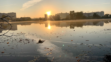
Photo
Where is located Solnechnyy Ostrov
Solnechnyy Ostrov — local attraction, which is located at no data and belongs to the category — -. Average visitor rating for this place — 4.6 (according to 135 ratings, information from open sources and relevant for 2022).
Exact location — Solnechnyy Ostrov, marked on the map with a red marker.
You can get directions to Solnechnyy Ostrov on the map from your location.
What else is interesting in Krasnodar? You can see all the sights if you go to the city page.
Coordinates
Solnechnyy Ostrov, Russian Federation coordinates in decimal format: latitude — 45.00825829187711, longitude — 39.056007869461666. When converted to degrees, minutes, seconds Solnechnyy Ostrov has the following coordinates: 45°0′29.73 north latitude and 39°3′21.63 east longitude.
Nearby cities
The largest cities that are located nearby:
- Maykop — 100 km
- Novorossiysk — 102 km
- Sochi — 171 km
- Kerch — 197 km
- Stavropol — 236 km
- Nevinnomyssk — 238 km
- Bataysk — 240 km
- Taganrog — 241 km
- Berdyans'k
 — 252 km
 - Cherkessk — 260 km
- Novocherkassk — 276 km
- Shakhty — 310 km
- Kislovodsk — 323 km
- Melitopol' — 337 km
- Donetsk — 341 km
- Pyatigorsk — 342 km
- Volgodonsk — 364 km
- Horlivka — 368 km
- Simferopol — 381 km
Distance to the capital
Distance to the capital (Moscow) is about — 1200 km.