
 Mikhaylovka
Dyrestuy
Mikhaylovka
Mayskiy
Novobessergenevka
Tersky District
Lesnoy
Tertezh
Kuz'minskiye Otverzhki
Mikhaylovka
Dyrestuy
Mikhaylovka
Mayskiy
Novobessergenevka
Tersky District
Lesnoy
Tertezh
Kuz'minskiye Otverzhki
Spaso-Preobrazhenskiy Sobor on the map, Tver, Russian Federation
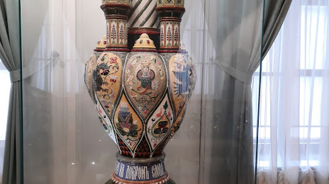
Photo
Where is located Spaso-Preobrazhenskiy Sobor
Spaso-Preobrazhenskiy Sobor — local attraction, which is located at Соборная площадь, Тверь, Tver, Tver Oblast, 170100 and belongs to the category — russian orthodox church. Average visitor rating for this place — 4.3 (according to 23 ratings, information from open sources and relevant for 2022).
Exact location — Spaso-Preobrazhenskiy Sobor, marked on the map with a red marker.
You can get directions to Spaso-Preobrazhenskiy Sobor on the map from your location.
What else is interesting in Tver? You can see all the sights if you go to the city page.
Coordinates
Spaso-Preobrazhenskiy Sobor, Russian Federation coordinates in decimal format: latitude — 56.86172140959571, longitude — 35.89960879849879. When converted to degrees, minutes, seconds Spaso-Preobrazhenskiy Sobor has the following coordinates: 56°51′42.2 north latitude and 35°53′58.59 east longitude.
Nearby cities
The largest cities that are located nearby:
- Zelenograd — 124 km
- Khimki — 143 km
- Pushkino — 152 km
- Odintsovo — 156 km
- Balashikha — 172 km
- Lyubertsy — 179 km
- Izmaylovo — 179 km
- Podolsk — 188 km
- Noginsk — 192 km
- Obninsk — 197 km
- Elektrostal — 198 km
- Rybinsk — 216 km
- Orekhovo-Zuyevo — 223 km
- Serpukhov — 235 km
- Yaroslavl — 250 km
- Kaluga — 256 km
- Kolomna — 266 km
- Cherepovets — 276 km
- Vladimir — 288 km
Distance to the capital
Distance to the capital (Moscow) is about — 162 km.