
 Mikhaylovka
Dyrestuy
Mikhaylovka
Mayskiy
Novobessergenevka
Tersky District
Lesnoy
Tertezh
Kuz'minskiye Otverzhki
Mikhaylovka
Dyrestuy
Mikhaylovka
Mayskiy
Novobessergenevka
Tersky District
Lesnoy
Tertezh
Kuz'minskiye Otverzhki
Botanicheskiy Sad Ogu on the map, Orenburg, Russian Federation
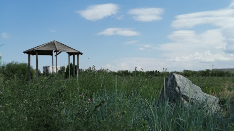
Photo
Where is located Botanicheskiy Sad Ogu
Botanicheskiy Sad Ogu — local attraction, which is located at Orenburg, Orenburg Oblast, 460044 and belongs to the category — botanical garden. Average visitor rating for this place — 3.3 (according to 24 ratings, information from open sources and relevant for 2022).
Exact location — Botanicheskiy Sad Ogu, marked on the map with a red marker.
You can get directions to Botanicheskiy Sad Ogu on the map from your location.
What else is interesting in Orenburg? You can see all the sights if you go to the city page.
Coordinates
Botanicheskiy Sad Ogu, Russian Federation coordinates in decimal format: latitude — 51.81699163904133, longitude — 55.121432098306315. When converted to degrees, minutes, seconds Botanicheskiy Sad Ogu has the following coordinates: 51°49′1.17 north latitude and 55°7′17.16 east longitude.
Nearby cities
The largest cities that are located nearby:
- Salavat — 185 km
- Sterlitamak — 214 km
- Novotroitsk — 231 km
- Orsk — 248 km
- Magnitogorsk — 315 km
- Ufa — 333 km
- Samara — 365 km
- Novokuybyshevsk — 373 km
- Almetyevsk — 388 km
- Tolyatti — 420 km
- Dimitrovgrad — 449 km
- Syzran — 466 km
- Zlatoust — 474 km
- Nizhnekamsk — 474 km
- Miass — 478 km
- Neftekamsk — 482 km
- Balakovo — 499 km
- Ulyanovsk — 518 km
- Sarapul — 526 km
Distance to the capital
Distance to the capital (Moscow) is about — 1227 km.