 Valle de Santiago
Atlixco
Coacalco
Altamira
El Salto
González
Parras
Cárdenas
Progreso
Los Mochis
Chetumal
San Cristóbal
San Luis Potosi
Cuautla
Ocoyoacac
Ciudad Nezahualcóyotl
Santa Ana
Montemorelos
Ciudad del Carmen
Valle de Santiago
Atlixco
Coacalco
Altamira
El Salto
González
Parras
Cárdenas
Progreso
Los Mochis
Chetumal
San Cristóbal
San Luis Potosi
Cuautla
Ocoyoacac
Ciudad Nezahualcóyotl
Santa Ana
Montemorelos
Ciudad del Carmen
Zitácuaro on the map, Mexico
Where is located Zitácuaro
Exact location — Zitácuaro, Zitácuaro, Michoacán, Mexico, marked on the map with a red marker.
Coordinates
Zitácuaro, Mexico coordinates in decimal format: latitude — 19.4323039, longitude — -100.3554035. When converted to degrees, minutes, seconds Zitácuaro has the following coordinates: 19°25′56.29 north latitude and -100°21′19.45 east longitude.
Population
Zitácuaro, Zitácuaro, Michoacán, Mexico, according to our data the population is — 78,954 residents, which is about 0.1% of the total population of the country (Mexico).
Comparison of the population on the graph:
Exact time
Time zone for this location Zitácuaro — UTC -6 America/Mexico_City. Exact time — monday, 4 april 2024 year, 06 h. 11 minutes.
Sunrise and sunset
Zitácuaro, sunrise and sunset data for a date — monday 29.04.2024.
| Sunrise | Sunset | Day (duration) |
|---|---|---|
| 06:16 -0 minutes | 19:01 +1 minute | 12 h. 48 minutes. +1 minute |
You can control the scale of the map using the auxiliary tools to find out exactly where it is located Zitácuaro. When you change the scale of the map, the width of the ruler also changes (in kilometers and miles).
Nearby cities
The largest cities that are located nearby:
- Toluca — 75 km
- Metepec — 81 km
- Morelia — 93 km
- San Juan del Río — 112 km
- Ciudad López Mateos — 114 km
- Naucalpan — 117 km
- Cuautitlán Izcalli — 118 km
- Tlalnepantla — 122 km
- Buenavista — 125 km
- Santiago de Querétaro — 128 km
- Celaya — 130 km
- Cuernavaca — 131 km
- Coacalco — 132 km
- Jiutepec — 137 km
- Ecatepec — 137 km
- Ojo de Agua — 140 km
- Ciudad Nezahualcóyotl — 142 km
- Chimalhuacan — 146 km
- Iguala — 148 km
Distance to neighboring capitals:
- Guatemala City
 (Guatemala) — 1173 km
 - Belmopan
 (Belize) — 1247 km
 - Tegucigalpa
 (Honduras) — 1520 km
 - Washington
 (United States) — 3116 km
 - Saint John
 (Puerto Rico) — 3599 km
 - Ottawa
 (Canada) — 3672 km
 - Belgrade
 (Serbia) — 10702 km
 - Podgorica
 (Montenegro) — 10773 km
 - Hagåtña
 (Guam) — 12009 km
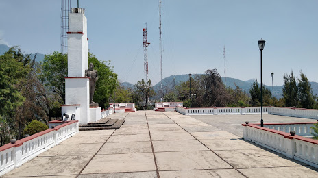
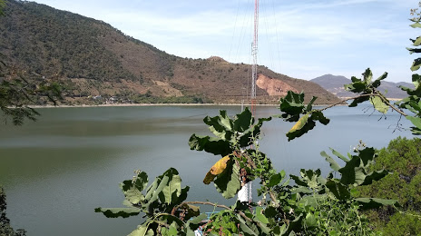
Attractions
Distance to the capital
Distance to the capital (Mexico City) is about — 128 km.