 Altamira
El Salto
González
Parras
Cárdenas
Progreso
Ciudad Mante
Fernández
San Juan del Río
Moroleón
Sabinas
Heroic Nogales
Los Mochis
Chetumal
San Cristóbal
San Luis Potosi
Cuautla
Ocoyoacac
Ciudad Nezahualcóyotl
Altamira
El Salto
González
Parras
Cárdenas
Progreso
Ciudad Mante
Fernández
San Juan del Río
Moroleón
Sabinas
Heroic Nogales
Los Mochis
Chetumal
San Cristóbal
San Luis Potosi
Cuautla
Ocoyoacac
Ciudad Nezahualcóyotl
Tulancingo on the map, Mexico
Where is located Tulancingo
Exact location — Tulancingo, Tulancingo, Hidalgo, Mexico, marked on the map with a red marker.
Coordinates
Tulancingo, Mexico coordinates in decimal format: latitude — 20.083333, longitude — -98.366667. When converted to degrees, minutes, seconds Tulancingo has the following coordinates: 20°4′60 north latitude and -98°22′0 east longitude.
Population
Tulancingo, Tulancingo, Hidalgo, Mexico, according to our data the population is — 102,388 residents, which is about 0.1% of the total population of the country (Mexico).
Comparison of the population on the graph:
Exact time
Time zone for this location Tulancingo — UTC -6 America/Mexico_City. Exact time — tuesday, 6 june 2024 year, 05 h. 26 minutes.
Sunrise and sunset
Tulancingo, sunrise and sunset data for a date — tuesday 18.06.2024.
| Sunrise | Sunset | Day (duration) |
|---|---|---|
| 05:57 +1 minute | 19:12 -0 minutes | 13 h. 18 minutes. -1 minute |
You can control the scale of the map using the auxiliary tools to find out exactly where it is located Tulancingo. When you change the scale of the map, the width of the ruler also changes (in kilometers and miles).
Nearby cities
The largest cities that are located nearby:
- Pachuca — 41 km
- Ojo de Agua — 83 km
- Texcoco — 83 km
- Ecatepec — 89 km
- Coacalco — 92 km
- Chimalhuacan — 95 km
- Buenavista — 99 km
- Ciudad Nezahualcóyotl — 100 km
- Ixtapaluca — 101 km
- Cuautitlán Izcalli — 104 km
- Tlalnepantla — 105 km
- Poza Rica de Hidalgo — 106 km
- Chalco de Díaz Covarrubias — 106 km
- Ciudad López Mateos — 110 km
- Naucalpan — 112 km
- Puebla — 116 km
- Martínez de la Torre — 136 km
- Tantoyuca — 141 km
- Cuautla — 153 km
Distance to neighboring capitals:
- Guatemala City
 (Guatemala) — 1030 km
 - Belmopan
 (Belize) — 1059 km
 - Tegucigalpa
 (Honduras) — 1360 km
 - Washington
 (United States) — 2926 km
 - Saint John
 (Puerto Rico) — 3387 km
 - Ottawa
 (Canada) — 3501 km
 - Belgrade
 (Serbia) — 10517 km
 - Podgorica
 (Montenegro) — 10583 km
 - Hagåtña
 (Guam) — 12174 km
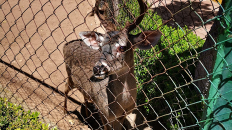
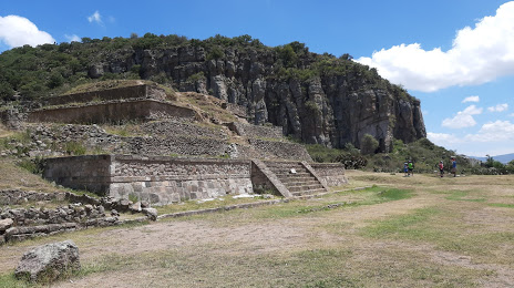
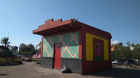
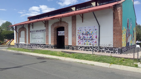
Attractions

Distance to the capital
Distance to the capital (Mexico City) is about — 108 km.