Colón — Vicente Guerrero
Colón — Jáuregui
Colón — Tepeji
Colón — Sahuayo
Colón — Zacazonapan
Colón — Sayula de Alemán
Colón — Chetumal
Colón — El Rodeo
Colón — Batán Grande
Colón — Ayoquezco de Aldama
Colón — Nuevo Orizaba
Colón — Casas Viejas
Colón — El Refugio
Colón — Almoloya de Alquisiras
Colón — Orizatlán
Colón — Tepic
Colón — Montaña
Colón — Guevea de Humboldt
Colón — Juan Rodríguez Clara
Urecho
Galeras
Viborillas
San Cristobal
Pedro Escobedo
El Sauz
Loma Linda
San Juan del Río
Ejido San Sebastián de las Barrancas
El Cazadero
Calpulalpan
Vista Hermosa
Tula
Tula
Tlaxcoapan
Atitalaquía
Atitalaquía
Atotonilco de Tula
Apaxco
Hueypoxtla
Emiliano Zapata
Tolcayuca
Villa de Tezontepec
Nopaltepec
Sahagun City
Calpulalpan
Zotoluca
Hueyotlipan
San Lucas Tecopilco
Yauhquemecan
Santa Cruz Tlaxcala
San Miguel Contla
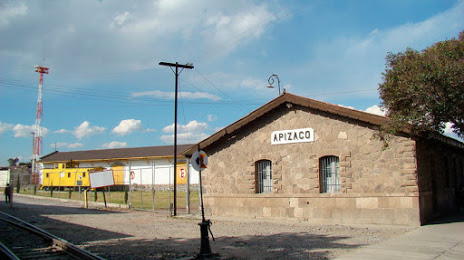
Colón — Apizaco distance, route on the map
Distance by car
Distance between Colón, Querétaro, Mexico and Apizaco, Tlaxcala, Mexico by car is — km, or miles. To travel this distance by car, you need minute, or h.
Route on the map, driving directions
Car route Colón — Apizaco was created automatically. The road on the map is shown as a blue line. By moving the markers, you can create a new route through the points you need.
Passing cities through which the car route passes: Palo Seco, Urecho, Galeras, Viborillas, San Cristobal, Pedro Escobedo, El Sauz, Loma Linda, San Juan del Río, Ejido San Sebastián de las Barrancas, El Cazadero, Calpulalpan, Vista Hermosa, Tula, Tula, Tlaxcoapan, Atitalaquía, Atitalaquía, Atotonilco de Tula, Apaxco, Hueypoxtla, Emiliano Zapata, Tolcayuca, Villa de Tezontepec, Nopaltepec, Sahagun City, Calpulalpan, Zotoluca, Hueyotlipan, San Lucas Tecopilco, Yauhquemecan, Santa Cruz Tlaxcala, San Miguel Contla.
Distance by plane
If you decide to take a trip Colón Apizaco by plane, then you have to fly the distance — 251 km or 156 miles. It is marked on the map with a gray line (between two points in a straight line).
Flight time
Estimated flight time Colón Apizaco by plane at cruising speed 750 km / h will be — 20 min.
Direction of movement
Mexico, Colón — right-hand traffic. Mexico, Apizaco — right-hand traffic.
Difference in time
Colón and Apizaco are in the same time zone. Between them there is no time difference (UTC -6 America/Mexico_City).
Interesting Facts
Information on alternative ways to get to your destination.
The length of this distance is about 0.6% of the total length of the equator.
The percentage of the population is clearly shown in the graph:
Colón — 7,088 (less by 39,373), Apizaco — 46,461 residents.
The cost of travel
Calculate the cost of the trip yourself using the fuel consumption calculator, changing the data in the table.