
 Mikhaylovka
Dyrestuy
Mikhaylovka
Mayskiy
Novobessergenevka
Tersky District
Lesnoy
Tertezh
Kuz'minskiye Otverzhki
Mikhaylovka
Dyrestuy
Mikhaylovka
Mayskiy
Novobessergenevka
Tersky District
Lesnoy
Tertezh
Kuz'minskiye Otverzhki
Natsional'nyy Park "Onezhskoye Pomor'ye" on the map, Severodvinsk, Russian Federation
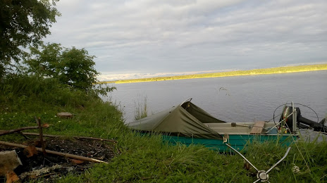
Photo
Where is located Natsional'nyy Park "Onezhskoye Pomor'ye"
Natsional'nyy Park "Onezhskoye Pomor'ye" — local attraction, which is located at Бойчука, д. 3, оф. 421 ул. стр. 5, Ulitsa Pervomayskaya, 20, Severodvinsk, Arkhangelsk Oblast, 164500 and belongs to the category — national park. Average visitor rating for this place — 4.4 (according to 114 ratings, information from open sources and relevant for 2022).
Exact location — Natsional'nyy Park "Onezhskoye Pomor'ye", marked on the map with a red marker.
You can get directions to Natsional'nyy Park "Onezhskoye Pomor'ye" on the map from your location.
What else is interesting in Severodvinsk? You can see all the sights if you go to the city page.
Coordinates
Natsional'nyy Park "Onezhskoye Pomor'ye", Russian Federation coordinates in decimal format: latitude — 64.57044424788005, longitude — 39.828642898814465. When converted to degrees, minutes, seconds Natsional'nyy Park "Onezhskoye Pomor'ye" has the following coordinates: 64°34′13.6 north latitude and 39°49′43.11 east longitude.
Nearby cities
The largest cities that are located nearby:
- Arkhangelsk — 33 km
- Petrozavodsk — 422 km
- Vologda — 591 km
- Cherepovets — 611 km
- Syktyvkar — 658 km
- Oulu
 (Finland) — 674 km
 - Ukhta — 690 km
- Rybinsk — 723 km
- Saint Petersburg — 736 km
- Kolpino — 743 km
- Kostroma — 754 km
- Yaroslavl — 767 km
- Kirov — 868 km
- Tver — 885 km
- Kovrov — 911 km
- Tampere (Finland) — 915 km
- Vladimir — 932 km
- Vantaa (Finland) — 940 km
- Dzerzhinsk — 947 km
Distance to the capital
Distance to the capital (Moscow) is about — 988 km.