
 Mikhaylovka
Dyrestuy
Mikhaylovka
Mayskiy
Novobessergenevka
Tersky District
Lesnoy
Tertezh
Kuz'minskiye Otverzhki
Mikhaylovka
Dyrestuy
Mikhaylovka
Mayskiy
Novobessergenevka
Tersky District
Lesnoy
Tertezh
Kuz'minskiye Otverzhki
Soldyrskoe I on the map, Glazov, Russian Federation
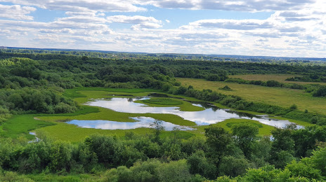
Photo
Where is located Soldyrskoe I
Soldyrskoe I — local attraction, which is located at Udmurt Republic, 427628 and belongs to the category — archaeological site. Average visitor rating for this place — 4.7 (according to 3 ratings, information from open sources and relevant for 2022).
Exact location — Soldyrskoe I, marked on the map with a red marker.
You can get directions to Soldyrskoe I on the map from your location.
What else is interesting in Glazov? You can see all the sights if you go to the city page.
Coordinates
Soldyrskoe I, Russian Federation coordinates in decimal format: latitude — 58.147804771639855, longitude — 52.73785309839129. When converted to degrees, minutes, seconds Soldyrskoe I has the following coordinates: 58°8′52.1 north latitude and 52°44′16.27 east longitude.
Nearby cities
The largest cities that are located nearby:
- Izhevsk — 147 km
- Kirov — 180 km
- Sarapul — 197 km
- Perm — 214 km
- Neftekamsk — 246 km
- Berezniki — 272 km
- Nizhnekamsk — 281 km
- Solikamsk — 283 km
- Yoshkar-Ola — 336 km
- Kazan — 340 km
- Almetyevsk — 359 km
- Zelenodolsk — 361 km
- Novocheboksarsk — 389 km
- Cheboksary — 400 km
- Syktyvkar — 403 km
- Ufa — 431 km
- Pervouralsk — 460 km
- Dimitrovgrad — 476 km
- Yekaterinburg — 501 km
Distance to the capital
Distance to the capital (Moscow) is about — 953 km.