
 Mikhaylovka
Dyrestuy
Mikhaylovka
Mayskiy
Novobessergenevka
Tersky District
Lesnoy
Tertezh
Kuz'minskiye Otverzhki
Mikhaylovka
Dyrestuy
Mikhaylovka
Mayskiy
Novobessergenevka
Tersky District
Lesnoy
Tertezh
Kuz'minskiye Otverzhki
Zamok Til'zit on the map, Sovetsk, Russian Federation
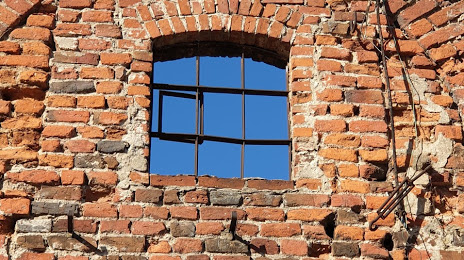
Photo
Where is located Zamok Til'zit
Zamok Til'zit — local attraction, which is located at Bazarnaya Ulitsa, 9а, Sovetsk, Kaliningrad Oblast, 238750 and belongs to the category — cultural landmark. Average visitor rating for this place — 3.6 (according to 66 ratings, information from open sources and relevant for 2022).
Exact location — Zamok Til'zit, marked on the map with a red marker.
You can get directions to Zamok Til'zit on the map from your location.
What else is interesting in Sovetsk? You can see all the sights if you go to the city page.
Coordinates
Zamok Til'zit, Russian Federation coordinates in decimal format: latitude — 55.081646200662064, longitude — 21.90748159842952. When converted to degrees, minutes, seconds Zamok Til'zit has the following coordinates: 55°4′53.93 north latitude and 21°54′26.93 east longitude.
Nearby cities
The largest cities that are located nearby:
- Klaipėda
 (Lithuania) — 83 km
 - Kaliningrad — 96 km
- Šiauliai (Lithuania) — 129 km
- Kaunas (Lithuania) — 130 km
- Panevėžys (Lithuania) — 170 km
- Olsztyn
 (Poland) — 171 km
 - Elblag (Poland) — 190 km
- Vilnius (Lithuania) — 221 km
- Gdańsk (Poland) — 224 km
- Gdynia (Poland) — 224 km
- Bialystok (Poland) — 232 km
- Rīga
 (Latvia) — 246 km
 - Daugavpils (Latvia) — 302 km
- Plock (Poland) — 316 km
- Torun (Poland) — 316 km
- Warsaw (Poland) — 321 km
- Wloclawek (Poland) — 329 km
- Maladzyechna
 (Belarus) — 332 km
 - Bydgoszcz (Poland) — 336 km
Distance to the capital
Distance to the capital (Moscow) is about — 992 km.