
 Mikhaylovka
Dyrestuy
Mikhaylovka
Mayskiy
Novobessergenevka
Tersky District
Lesnoy
Tertezh
Kuz'minskiye Otverzhki
Mikhaylovka
Dyrestuy
Mikhaylovka
Mayskiy
Novobessergenevka
Tersky District
Lesnoy
Tertezh
Kuz'minskiye Otverzhki
State Nature Reserve Belogorie on the map, Borisovka, Russian Federation
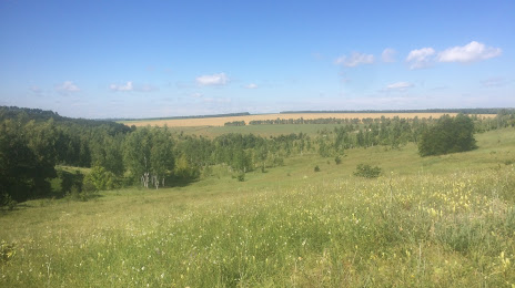
Photo
Where is located State Nature Reserve Belogorie
State Nature Reserve Belogorie — local attraction, which is located at пер. Монастырский, д. 3, Borisovka, Belgorod Oblast, 309342 and belongs to the category — nature reserve. Average visitor rating for this place — 4.5 (according to 156 ratings, information from open sources and relevant for 2022).
Exact location — State Nature Reserve Belogorie, marked on the map with a red marker.
You can get directions to State Nature Reserve Belogorie on the map from your location.
What else is interesting in Borisovka? You can see all the sights if you go to the city page.
Coordinates
State Nature Reserve Belogorie, Russian Federation coordinates in decimal format: latitude — 50.6253678266038, longitude — 35.9805963982627. When converted to degrees, minutes, seconds State Nature Reserve Belogorie has the following coordinates: 50°37′31.32 north latitude and 35°58′50.15 east longitude.
Nearby cities
The largest cities that are located nearby:
- Belgorod — 40 km
- Sumy
 (Ukraine) — 92 km
 - Kursk — 123 km
- Poltava (Ukraine) — 154 km
- Pavlohrad (Ukraine) — 231 km
- Voronezh — 249 km
- Dniprodzerzhyns'k (Ukraine) — 252 km
- Kremenchuk (Ukraine) — 254 km
- Yelets — 278 km
- Horlivka
 — 293 km
 - Alchevs'k — 310 km
- Cherkasy (Ukraine) — 312 km
- Bryansk — 313 km
- Donetsk — 315 km
- Lipetsk — 327 km
- Luhansk — 328 km
- Chernihiv (Ukraine) — 341 km
- Kryvyi Rih (Ukraine) — 356 km
- Nikopol' (Ukraine) — 357 km
Distance to the capital
Distance to the capital (Moscow) is about — 581 km.