 Smithers
Selkirk
Olds
Chilliwack
Elora
Sainte-Foy
Lawrencetown
Lennoxville
Prince George
Whitby
York
Saint-Laurent
Côte Saint-Luc
Saint-Leonard
Westmount
Bala
McGregor
Richmond
Fort McMurray
Smithers
Selkirk
Olds
Chilliwack
Elora
Sainte-Foy
Lawrencetown
Lennoxville
Prince George
Whitby
York
Saint-Laurent
Côte Saint-Luc
Saint-Leonard
Westmount
Bala
McGregor
Richmond
Fort McMurray
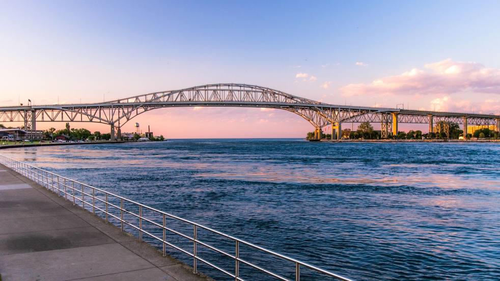
Sarnia on the map, Canada
Where is located Sarnia
Exact location — Sarnia, Lambton County, Ontario, Canada, marked on the map with a red marker.
Coordinates
Sarnia, Canada coordinates in decimal format: latitude — 42.974536, longitude — -82.4065901. When converted to degrees, minutes, seconds Sarnia has the following coordinates: 42°58′28.33 north latitude and -82°24′23.72 east longitude.
Population
Sarnia, Lambton County, Ontario, Canada, according to our data the population is — 82,998 residents, which is about 0.2% of the total population of the country (Canada).
Comparison of the population on the graph:
Exact time
Time zone for this location Sarnia — UTC -4 America/Toronto. Exact time — wednesday, 5 may 2024 year, 01 h. 50 minutes.
Sunrise and sunset
Sarnia, sunrise and sunset data for a date — wednesday 15.05.2024.
| Sunrise | Sunset | Day (duration) |
|---|---|---|
| 06:09 -1 minute | 20:42 +1 minute | 14 h. 36 minutes. +2 minutes |
You can control the scale of the map using the auxiliary tools to find out exactly where it is located Sarnia. When you change the scale of the map, the width of the ruler also changes (in kilometers and miles).
Nearby cities
The largest cities that are located nearby:
- Sterling Heights
 (United States) — 67 km
 - Warren (United States) — 71 km
- Detroit (United States) — 88 km
- Windsor — 89 km
- London — 94 km
- Flint (United States) — 104 km
- Ann Arbor (United States) — 134 km
- Waterloo — 161 km
- Kitchener — 162 km
- Toledo (United States) — 173 km
- Cleveland (United States) — 173 km
- Cambridge — 174 km
- Lansing (United States) — 177 km
- Guelph — 184 km
- Aurora (United States) — 203 km
- Hamilton — 207 km
- Burlington — 213 km
- Akron (United States) — 222 km
- Oakville — 225 km
Distance to neighboring capitals:
- Washington (United States) — 639 km
- Nuuk
 (Greenland) — 3049 km
 - Mexico City
 (Mexico) — 3051 km
 - Saint John
 (Puerto Rico) — 3127 km
 - Belgrade
 (Serbia) — 7631 km
 - Podgorica
 (Montenegro) — 7726 km
 - Hagåtña
 (Guam) — 12120 km
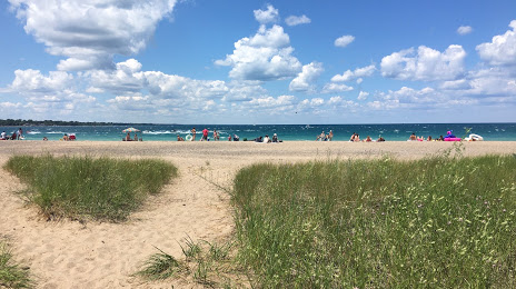
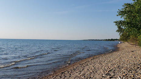
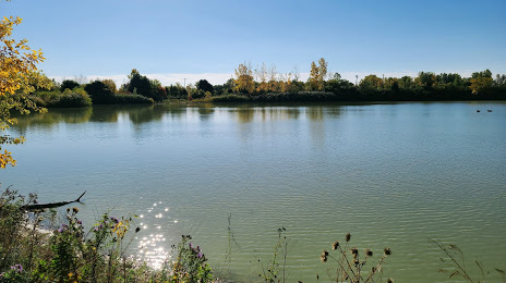
Attractions


Distance to the capital
Distance to the capital (Ottawa) is about — 600 km.