
 Mikhaylovka
Dyrestuy
Mikhaylovka
Mayskiy
Novobessergenevka
Tersky District
Lesnoy
Tertezh
Kuz'minskiye Otverzhki
Mikhaylovka
Dyrestuy
Mikhaylovka
Mayskiy
Novobessergenevka
Tersky District
Lesnoy
Tertezh
Kuz'minskiye Otverzhki
Kamenny Island on the map, Pargolovo, Russian Federation
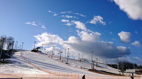
Photo
Where is located Kamenny Island
Kamenny Island — local attraction, which is located at no data and belongs to the category — -. Average visitor rating for this place — 4.6 (according to 9653 ratings, information from open sources and relevant for 2022).
Exact location — Kamenny Island, marked on the map with a red marker.
You can get directions to Kamenny Island on the map from your location.
What else is interesting in Pargolovo? You can see all the sights if you go to the city page.
Coordinates
Kamenny Island, Russian Federation coordinates in decimal format: latitude — 60.12704656153359, longitude — 30.446641998629573. When converted to degrees, minutes, seconds Kamenny Island has the following coordinates: 60°7′37.37 north latitude and 30°26′47.91 east longitude.
Nearby cities
The largest cities that are located nearby:
- Saint Petersburg — 17 km
- Kolpino — 43 km
- Pskov — 275 km
- Tartu
 (Estonia) — 278 km
 - Petrozavodsk — 284 km
- Vantaa
 (Finland) — 287 km
 - Helsinki (Finland) — 293 km
- Espoo (Finland) — 308 km
- Tallinn (Estonia) — 318 km
- Tampere (Finland) — 377 km
- Velikiye Luki — 414 km
- Turku (Finland) — 438 km
- Cherepovets — 447 km
- Tver — 494 km
- Rīga
 (Latvia) — 508 km
 - Navapolatsk
 (Belarus) — 516 km
 - Daugavpils (Latvia) — 519 km
- Rybinsk — 550 km
- Vologda — 554 km
Distance to the capital
Distance to the capital (Moscow) is about — 644 km.