
 Mikhaylovka
Dyrestuy
Mikhaylovka
Mayskiy
Novobessergenevka
Tersky District
Lesnoy
Tertezh
Kuz'minskiye Otverzhki
Mikhaylovka
Dyrestuy
Mikhaylovka
Mayskiy
Novobessergenevka
Tersky District
Lesnoy
Tertezh
Kuz'minskiye Otverzhki
Gora Kukisvumchorr on the map, Kirovsk, Russian Federation
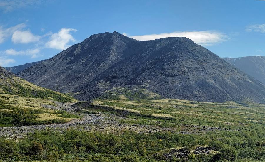
Photo
Where is located Gora Kukisvumchorr
Gora Kukisvumchorr — local attraction, which is located at Khibiny Mountains and belongs to the category — -. Average visitor rating for this place — 4.5 (according to 12 ratings, information from open sources and relevant for 2022).
Exact location — Gora Kukisvumchorr, marked on the map with a red marker.
You can get directions to Gora Kukisvumchorr on the map from your location.
What else is interesting in Kirovsk? You can see all the sights if you go to the city page.
Coordinates
Gora Kukisvumchorr, Russian Federation coordinates in decimal format: latitude — 67.70417471157612, longitude — 33.68113203112318. When converted to degrees, minutes, seconds Gora Kukisvumchorr has the following coordinates: 67°42′15.03 north latitude and 33°40′52.08 east longitude.
Nearby cities
The largest cities that are located nearby:
- Severodvinsk — 448 km
- Arkhangelsk — 472 km
- Oulu
 (Finland) — 478 km
 - Petrozavodsk — 646 km
- Tampere (Finland) — 854 km
- Saint Petersburg — 869 km
- Kolpino — 888 km
- Vantaa (Finland) — 937 km
- Helsinki (Finland) — 952 km
- Espoo (Finland) — 957 km
- Cherepovets — 969 km
- Vologda — 994 km
- Turku (Finland) — 1006 km
- Tallinn
 (Estonia) — 1033 km
 - Ukhta — 1084 km
- Tartu (Estonia) — 1097 km
- Rybinsk — 1100 km
- Syktyvkar — 1116 km
- Pskov — 1128 km
Distance to the capital
Distance to the capital (Moscow) is about — 1344 km.