
 Mikhaylovka
Dyrestuy
Mikhaylovka
Mayskiy
Novobessergenevka
Tersky District
Lesnoy
Tertezh
Kuz'minskiye Otverzhki
Mikhaylovka
Dyrestuy
Mikhaylovka
Mayskiy
Novobessergenevka
Tersky District
Lesnoy
Tertezh
Kuz'minskiye Otverzhki
Ozero Andreyevskoye on the map, Borovskiy, Russian Federation
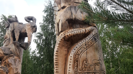
Photo
Where is located Ozero Andreyevskoye
Ozero Andreyevskoye — local attraction, which is located at no data and belongs to the category — -. Average visitor rating for this place — 4.6 (according to 339 ratings, information from open sources and relevant for 2022).
Exact location — Ozero Andreyevskoye, marked on the map with a red marker.
You can get directions to Ozero Andreyevskoye on the map from your location.
What else is interesting in Borovskiy? You can see all the sights if you go to the city page.
Coordinates
Ozero Andreyevskoye, Russian Federation coordinates in decimal format: latitude — 57.05082982477209, longitude — 65.71703362734313. When converted to degrees, minutes, seconds Ozero Andreyevskoye has the following coordinates: 57°3′2.99 north latitude and 65°43′1.32 east longitude.
Nearby cities
The largest cities that are located nearby:
- Tyumen — 18 km
- Kurgan — 176 km
- Yekaterinburg — 310 km
- Chelyabinsk — 341 km
- Pervouralsk — 348 km
- Miass — 422 km
- Zlatoust — 435 km
- Kostanay
 (Kazakhstan) — 444 km
 - Kokshetau (Kazakhstan) — 481 km
- Omsk — 536 km
- Perm — 561 km
- Berezniki — 567 km
- Solikamsk — 578 km
- Nefteyugansk — 579 km
- Magnitogorsk — 597 km
- Surgut — 620 km
- Ufa — 672 km
- Neftekamsk — 712 km
- Nizhnevartovsk — 724 km
Distance to the capital
Distance to the capital (Moscow) is about — 1723 km.