
 Mikhaylovka
Dyrestuy
Mikhaylovka
Mayskiy
Novobessergenevka
Tersky District
Lesnoy
Tertezh
Kuz'minskiye Otverzhki
Mikhaylovka
Dyrestuy
Mikhaylovka
Mayskiy
Novobessergenevka
Tersky District
Lesnoy
Tertezh
Kuz'minskiye Otverzhki
Zagorodnyy Plyazh Oazis on the map, Kaspiysk, Russian Federation
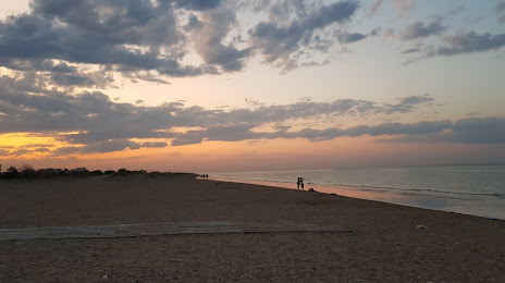
Photo
Where is located Zagorodnyy Plyazh Oazis
Zagorodnyy Plyazh Oazis — local attraction, which is located at no data and belongs to the category — -. Average visitor rating for this place — 4.1 (according to 526 ratings, information from open sources and relevant for 2022).
Exact location — Zagorodnyy Plyazh Oazis, marked on the map with a red marker.
You can get directions to Zagorodnyy Plyazh Oazis on the map from your location.
What else is interesting in Kaspiysk? You can see all the sights if you go to the city page.
Coordinates
Zagorodnyy Plyazh Oazis, Russian Federation coordinates in decimal format: latitude — 42.940575215237025, longitude — 47.58757987381904. When converted to degrees, minutes, seconds Zagorodnyy Plyazh Oazis has the following coordinates: 42°56′26.07 north latitude and 47°35′15.29 east longitude.
Nearby cities
The largest cities that are located nearby:
- Makhachkala — 15 km
- Khasavyurt — 94 km
- Derbent — 107 km
- Nazran — 234 km
- Vladikavkaz — 242 km
- Tbilisi
 (Georgia) — 268 km
 - Aktau
 (Kazakhstan) — 297 km
 - Nalchik — 329 km
- Baku
 (Azerbaijan) — 331 km
 - Vanadzor
 (Armenia) — 349 km
 - Parsabad
 (Iran) — 358 km
 - Astrakhan — 386 km
- Pyatigorsk — 387 km
- Gyumri (Armenia) — 392 km
- Yerevan (Armenia) — 398 km
- Kislovodsk — 408 km
- Kutaisi (Georgia) — 410 km
- Elista — 459 km
- Cherkessk — 467 km
Distance to the capital
Distance to the capital (Moscow) is about — 1594 km.