
 Mikhaylovka
Dyrestuy
Mikhaylovka
Mayskiy
Novobessergenevka
Tersky District
Lesnoy
Tertezh
Kuz'minskiye Otverzhki
Mikhaylovka
Dyrestuy
Mikhaylovka
Mayskiy
Novobessergenevka
Tersky District
Lesnoy
Tertezh
Kuz'minskiye Otverzhki
Reka Seyma on the map, Volodarsk, Russian Federation
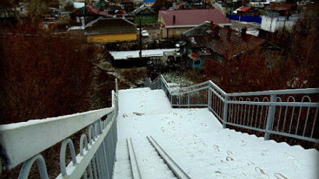
Photo
Where is located Reka Seyma
Reka Seyma — local attraction, which is located at Oka River and belongs to the category — -. Average visitor rating for this place — 4.0 (according to 5 ratings, information from open sources and relevant for 2022).
Exact location — Reka Seyma, marked on the map with a red marker.
You can get directions to Reka Seyma on the map from your location.
What else is interesting in Volodarsk? You can see all the sights if you go to the city page.
Coordinates
Reka Seyma, Russian Federation coordinates in decimal format: latitude — 56.216377010772064, longitude — 43.19260090430641. When converted to degrees, minutes, seconds Reka Seyma has the following coordinates: 56°12′58.96 north latitude and 43°11′33.36 east longitude.
Nearby cities
The largest cities that are located nearby:
- Dzerzhinsk — 16 km
- Arzamas — 100 km
- Murom — 102 km
- Kovrov — 114 km
- Vladimir — 171 km
- Kostroma — 216 km
- Yaroslavl — 249 km
- Cheboksary — 250 km
- Saransk — 260 km
- Orekhovo-Zuyevo — 266 km
- Novocheboksarsk — 267 km
- Ryazan — 285 km
- Yoshkar-Ola — 288 km
- Noginsk — 295 km
- Elektrostal — 297 km
- Kolomna — 306 km
- Rybinsk — 325 km
- Balashikha — 327 km
- Pushkino — 332 km
Distance to the capital
Distance to the capital (Moscow) is about — 351 km.