
 Mikhaylovka
Dyrestuy
Mikhaylovka
Mayskiy
Novobessergenevka
Tersky District
Lesnoy
Tertezh
Kuz'minskiye Otverzhki
Mikhaylovka
Dyrestuy
Mikhaylovka
Mayskiy
Novobessergenevka
Tersky District
Lesnoy
Tertezh
Kuz'minskiye Otverzhki
Svyatopole on the map, Zaraysk, Russian Federation
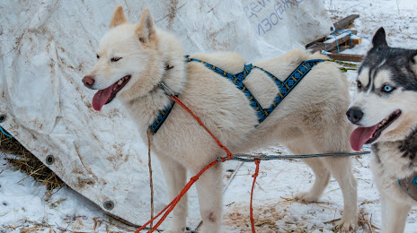
Photo
Where is located Svyatopole
Svyatopole — local attraction, which is located at ТФХ Лесной, Moscow Oblast, 140613 and belongs to the category — zoo. Average visitor rating for this place — 4.6 (according to 37 ratings, information from open sources and relevant for 2022).
Exact location — Svyatopole, marked on the map with a red marker.
You can get directions to Svyatopole on the map from your location.
What else is interesting in Zaraysk? You can see all the sights if you go to the city page.
Coordinates
Svyatopole, Russian Federation coordinates in decimal format: latitude — 54.76021722764402, longitude — 38.75474429825876. When converted to degrees, minutes, seconds Svyatopole has the following coordinates: 54°45′36.78 north latitude and 38°45′17.08 east longitude.
Nearby cities
The largest cities that are located nearby:
- Kolomna — 38 km
- Ryazan — 56 km
- Novomoskovsk — 91 km
- Serpukhov — 94 km
- Tula — 102 km
- Podolsk — 112 km
- Orekhovo-Zuyevo — 115 km
- Elektrostal — 116 km
- Izmaylovo — 118 km
- Lyubertsy — 120 km
- Noginsk — 126 km
- Balashikha — 130 km
- Odintsovo — 142 km
- Obninsk — 150 km
- Pushkino — 152 km
- Khimki — 154 km
- Kaluga — 168 km
- Zelenograd — 172 km
- Vladimir — 180 km
Distance to the capital
Distance to the capital (Moscow) is about — 132 km.