
 Mikhaylovka
Dyrestuy
Mikhaylovka
Mayskiy
Novobessergenevka
Tersky District
Lesnoy
Tertezh
Kuz'minskiye Otverzhki
Mikhaylovka
Dyrestuy
Mikhaylovka
Mayskiy
Novobessergenevka
Tersky District
Lesnoy
Tertezh
Kuz'minskiye Otverzhki
Ozero Solomennoye on the map, Toropets, Russian Federation
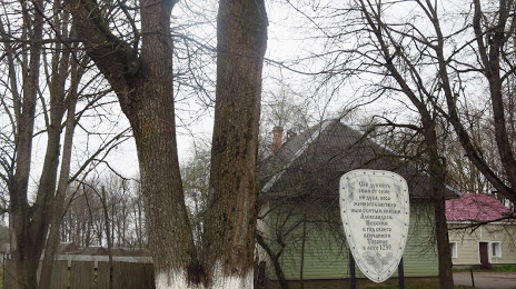
Photo
Where is located Ozero Solomennoye
Ozero Solomennoye — local attraction, which is located at 176 m and belongs to the category — -. Average visitor rating for this place — 4.9 (according to 24 ratings, information from open sources and relevant for 2022).
Exact location — Ozero Solomennoye, marked on the map with a red marker.
You can get directions to Ozero Solomennoye on the map from your location.
What else is interesting in Toropets? You can see all the sights if you go to the city page.
Coordinates
Ozero Solomennoye, Russian Federation coordinates in decimal format: latitude — 56.47316605898847, longitude — 31.673039218967656. When converted to degrees, minutes, seconds Ozero Solomennoye has the following coordinates: 56°28′23.4 north latitude and 31°40′22.94 east longitude.
Nearby cities
The largest cities that are located nearby:
- Velikiye Luki — 71 km
- Smolensk — 191 km
- Navapolatsk
 (Belarus) — 222 km
 - Pskov — 244 km
- Tver — 261 km
- Daugavpils
 (Latvia) — 325 km
 - Zelenograd — 347 km
- Obninsk — 348 km
- Tartu
 (Estonia) — 353 km
 - Odintsovo — 362 km
- Kolpino — 362 km
- Khimki — 365 km
- Kaluga — 367 km
- Pushkino — 386 km
- Saint Petersburg — 387 km
- Podolsk — 388 km
- Izmaylovo — 389 km
- Minsk (Belarus) — 391 km
- Maladzyechna (Belarus) — 393 km
Distance to the capital
Distance to the capital (Moscow) is about — 377 km.