
 Mikhaylovka
Dyrestuy
Mikhaylovka
Mayskiy
Novobessergenevka
Tersky District
Lesnoy
Tertezh
Kuz'minskiye Otverzhki
Mikhaylovka
Dyrestuy
Mikhaylovka
Mayskiy
Novobessergenevka
Tersky District
Lesnoy
Tertezh
Kuz'minskiye Otverzhki
Simskiy Prud on the map, Sim, Russian Federation
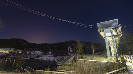
Photo
Where is located Simskiy Prud
Simskiy Prud — local attraction, which is located at 37 ha and belongs to the category — -. Average visitor rating for this place — 4.9 (according to 11 ratings, information from open sources and relevant for 2022).
Exact location — Simskiy Prud, marked on the map with a red marker.
You can get directions to Simskiy Prud on the map from your location.
What else is interesting in Sim? You can see all the sights if you go to the city page.
Coordinates
Simskiy Prud, Russian Federation coordinates in decimal format: latitude — 54.98308498736648, longitude — 57.68333299996833. When converted to degrees, minutes, seconds Simskiy Prud has the following coordinates: 54°58′59.11 north latitude and 57°40′60 east longitude.
Nearby cities
The largest cities that are located nearby:
- Ufa — 114 km
- Zlatoust — 126 km
- Miass — 152 km
- Sterlitamak — 188 km
- Magnitogorsk — 194 km
- Salavat — 213 km
- Chelyabinsk — 237 km
- Neftekamsk — 244 km
- Pervouralsk — 253 km
- Yekaterinburg — 270 km
- Sarapul — 289 km
- Izhevsk — 341 km
- Almetyevsk — 342 km
- Perm — 343 km
- Nizhnekamsk — 374 km
- Orenburg — 398 km
- Novotroitsk — 420 km
- Orsk — 423 km
- Kostanay
 (Kazakhstan) — 439 km
Distance to the capital
Distance to the capital (Moscow) is about — 1267 km.