
 Mikhaylovka
Dyrestuy
Mikhaylovka
Mayskiy
Novobessergenevka
Tersky District
Lesnoy
Tertezh
Kuz'minskiye Otverzhki
Mikhaylovka
Dyrestuy
Mikhaylovka
Mayskiy
Novobessergenevka
Tersky District
Lesnoy
Tertezh
Kuz'minskiye Otverzhki
Ryl'skiy Krayevedcheskiy Muzey on the map, Rylsk, Russian Federation
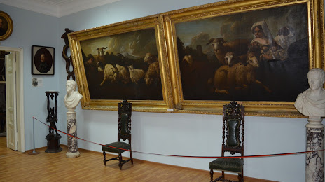
Photo
Where is located Ryl'skiy Krayevedcheskiy Muzey
Ryl'skiy Krayevedcheskiy Muzey — local attraction, which is located at 81,, Ulitsa Uritskogo, 79, Rylsk, Kursk Oblast, 307370 and belongs to the category — museum. Average visitor rating for this place — 4.6 (according to 90 ratings, information from open sources and relevant for 2022).
Exact location — Ryl'skiy Krayevedcheskiy Muzey, marked on the map with a red marker.
You can get directions to Ryl'skiy Krayevedcheskiy Muzey on the map from your location.
What else is interesting in Rylsk? You can see all the sights if you go to the city page.
Coordinates
Ryl'skiy Krayevedcheskiy Muzey, Russian Federation coordinates in decimal format: latitude — 51.56970573647118, longitude — 34.67962339813872. When converted to degrees, minutes, seconds Ryl'skiy Krayevedcheskiy Muzey has the following coordinates: 51°34′10.94 north latitude and 34°40′46.64 east longitude.
Nearby cities
The largest cities that are located nearby:
- Sumy
 (Ukraine) — 73 km
 - Kursk — 103 km
- Belgorod — 173 km
- Bryansk — 188 km
- Poltava (Ukraine) — 219 km
- Chernihiv (Ukraine) — 233 km
- Gomel
 (Belarus) — 266 km
 - Yelets — 283 km
- Kremenchuk (Ukraine) — 291 km
- Cherkasy (Ukraine) — 300 km
- Voronezh — 312 km
- Kyiv (Ukraine) — 317 km
- Dniprodzerzhyns'k (Ukraine) — 337 km
- Kaluga — 346 km
- Pavlohrad (Ukraine) — 348 km
- Tula — 349 km
- Lipetsk — 351 km
- Novomoskovsk — 359 km
- Mazyr (Belarus) — 374 km
Distance to the capital
Distance to the capital (Moscow) is about — 504 km.