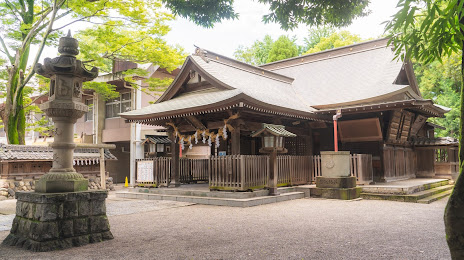
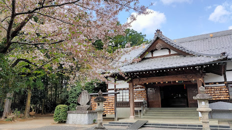
Zukeran
Tokashiki
Ozato
Hirara
Shimojo
Takatori
Onjuku
Nogata
Niimi
Ikawa
Karumai
Choshi
Otobe
Obira
Kamakura
Fukuyama
Taketoyo
Isshiki
Iiyama
Zukeran
Tokashiki
Ozato
Hirara
Shimojo
Takatori
Onjuku
Nogata
Niimi
Ikawa
Karumai
Choshi
Otobe
Obira
Kamakura
Fukuyama
Taketoyo
Isshiki
Iiyama
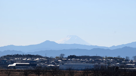
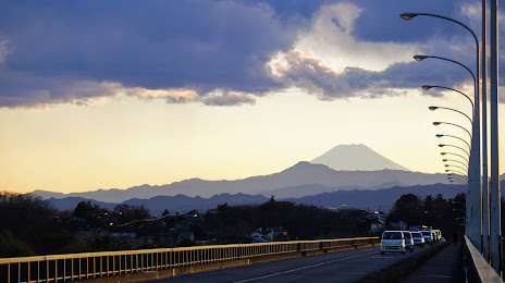
Kumagaya on the map, Japan
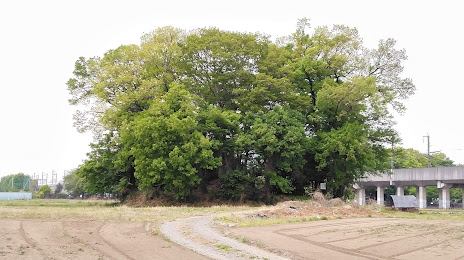
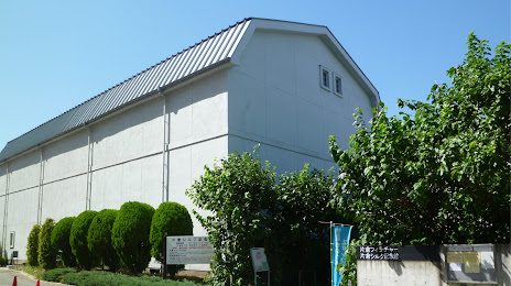
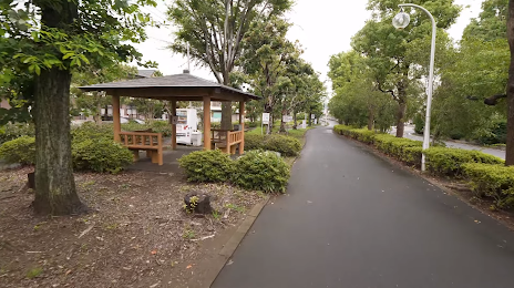
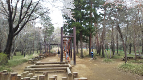
Where is located Kumagaya
Exact location — Kumagaya, Saitama Prefecture, Japan, marked on the map with a red marker.
Coordinates
Kumagaya, Japan coordinates in decimal format: latitude — 36.1473097, longitude — 139.3886446. When converted to degrees, minutes, seconds Kumagaya has the following coordinates: 36°8′50.31 north latitude and 139°23′19.12 east longitude.
Population
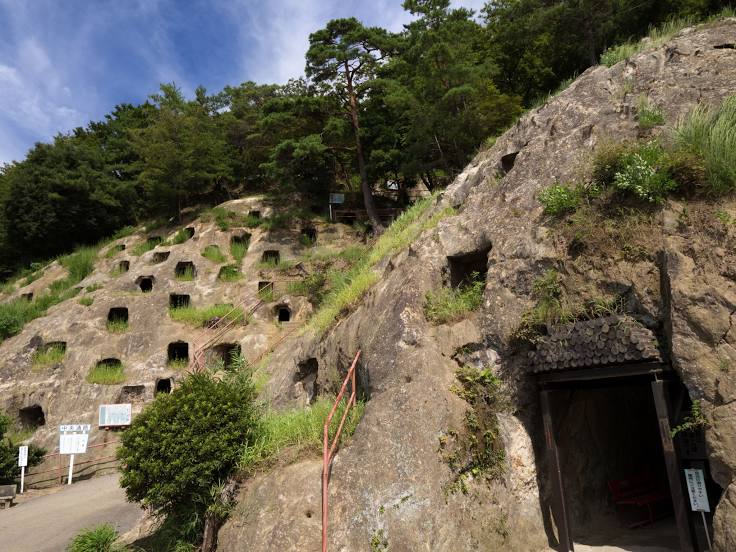
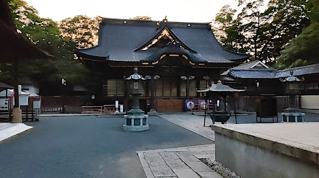
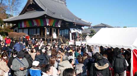
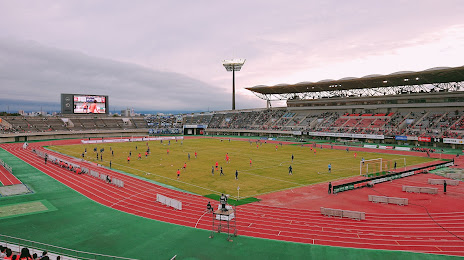
Kumagaya, Saitama Prefecture, Japan, according to our data the population is — 155,816 residents, which is about 0.1% of the total population of the country (Japan).
Comparison of the population on the graph:
Exact time
Time zone for this location Kumagaya — UTC +9 Asia/Tokyo. Exact time — tuesday, 6 june 2024 year, 06 h. 33 minutes.
Sunrise and sunset
Kumagaya, sunrise and sunset data for a date — tuesday 11.06.2024.
| Sunrise | Sunset | Day (duration) |
|---|---|---|
| 04:28 -0 minutes | 18:56 +1 minute | 14 h. 30 minutes. +1 minute |
You can control the scale of the map using the auxiliary tools to find out exactly where it is located Kumagaya. When you change the scale of the map, the width of the ruler also changes (in kilometers and miles).
Nearby cities
The largest cities that are located nearby:
- Ashikaga — 22 km
- Kawagoe — 26 km
- Ageo — 26 km
- Kiryu — 29 km
- Sayama — 33 km
- Kasukabe — 38 km
- Saitama — 39 km
- Tokorozawa — 39 km
- Takasaki — 39 km
- Maebashi — 39 km
- Oyama — 41 km
- Asaka — 43 km
- Toda — 45 km
- Koshigaya — 46 km
- Kodaira — 47 km
- Tachikawa — 48 km
- Kawaguchi — 48 km
- Noda — 48 km
- Kokubunji — 49 km
Distance to neighboring capitals:
- Seoul
 (South Korea) — 1115 km
 - Beijing
 (China) — 2050 km
 - Manila
 (Philippines) — 3015 km
 - Moscow
 (Russia) — 7423 km
 - Helsinki
 (Finland) — 7762 km
 - Tbilisi
 (Georgia) — 7772 km
 - Rīga
 (Latvia) — 8026 km
 - Belgrade
 (Serbia) — 9127 km