
 Mikhaylovka
Dyrestuy
Mikhaylovka
Mayskiy
Novobessergenevka
Tersky District
Lesnoy
Tertezh
Kuz'minskiye Otverzhki
Mikhaylovka
Dyrestuy
Mikhaylovka
Mayskiy
Novobessergenevka
Tersky District
Lesnoy
Tertezh
Kuz'minskiye Otverzhki
Gora Blagodat' on the map, Verkhnyaya Tura, Russian Federation
Photo
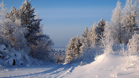
Where is located Gora Blagodat'
Gora Blagodat' — local attraction, which is located at 364 m and belongs to the category — -. Average visitor rating for this place — 4.8 (according to 5 ratings, information from open sources and relevant for 2022).
Exact location — Gora Blagodat', marked on the map with a red marker.
You can get directions to Gora Blagodat' on the map from your location.
What else is interesting in Verkhnyaya Tura? You can see all the sights if you go to the city page.
Coordinates
Gora Blagodat', Russian Federation coordinates in decimal format: latitude — 58.331138495517806, longitude — 59.816669918184. When converted to degrees, minutes, seconds Gora Blagodat' has the following coordinates: 58°19′52.1 north latitude and 59°49′0.01 east longitude.
Nearby cities
The largest cities that are located nearby:
- Pervouralsk — 160 km
- Yekaterinburg — 175 km
- Berezniki — 207 km
- Perm — 209 km
- Solikamsk — 223 km
- Zlatoust — 353 km
- Tyumen — 367 km
- Chelyabinsk — 368 km
- Miass — 372 km
- Glazov — 418 km
- Neftekamsk — 423 km
- Sarapul — 423 km
- Izhevsk — 435 km
- Ufa — 470 km
- Kurgan — 472 km
- Magnitogorsk — 550 km
- Sterlitamak — 581 km
- Nizhnekamsk — 583 km
- Kirov — 585 km
Distance to the capital
Distance to the capital (Moscow) is about — 1367 km.