
 Mikhaylovka
Dyrestuy
Mikhaylovka
Mayskiy
Novobessergenevka
Tersky District
Lesnoy
Tertezh
Kuz'minskiye Otverzhki
Mikhaylovka
Dyrestuy
Mikhaylovka
Mayskiy
Novobessergenevka
Tersky District
Lesnoy
Tertezh
Kuz'minskiye Otverzhki
Belomorskiye Petroglify, Belomorskiy Rayonnyy Krayevedcheskiy Muzey on the map, Belomorsk, Russian Federation
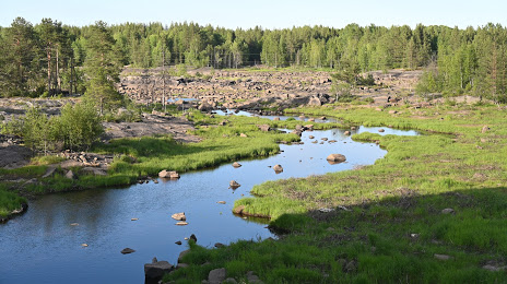
Photo
Where is located Belomorskiye Petroglify, Belomorskiy Rayonnyy Krayevedcheskiy Muzey
Belomorskiye Petroglify, Belomorskiy Rayonnyy Krayevedcheskiy Muzey — local attraction, which is located at Ulitsa Oktyabr'skaya, 5А, Belomorsk, Republic of Karelia, 186500 and belongs to the category — museum. Average visitor rating for this place — 4.6 (according to 224 ratings, information from open sources and relevant for 2022).
Exact location — Belomorskiye Petroglify, Belomorskiy Rayonnyy Krayevedcheskiy Muzey, marked on the map with a red marker.
You can get directions to Belomorskiye Petroglify, Belomorskiy Rayonnyy Krayevedcheskiy Muzey on the map from your location.
What else is interesting in Belomorsk? You can see all the sights if you go to the city page.
Coordinates
Belomorskiye Petroglify, Belomorskiy Rayonnyy Krayevedcheskiy Muzey, Russian Federation coordinates in decimal format: latitude — 64.52247560835693, longitude — 34.76414969865403. When converted to degrees, minutes, seconds Belomorskiye Petroglify, Belomorskiy Rayonnyy Krayevedcheskiy Muzey has the following coordinates: 64°31′20.91 north latitude and 34°45′50.94 east longitude.
Nearby cities
The largest cities that are located nearby:
- Severodvinsk — 242 km
- Arkhangelsk — 275 km
- Petrozavodsk — 304 km
- Oulu
 (Finland) — 437 km
 - Saint Petersburg — 564 km
- Kolpino — 578 km
- Cherepovets — 622 km
- Vologda — 655 km
- Tampere (Finland) — 670 km
- Vantaa (Finland) — 709 km
- Helsinki (Finland) — 724 km
- Espoo (Finland) — 733 km
- Rybinsk — 754 km
- Tallinn
 (Estonia) — 796 km
 - Turku (Finland) — 817 km
- Yaroslavl — 821 km
- Tartu (Estonia) — 824 km
- Kostroma — 831 km
- Pskov — 833 km
Distance to the capital
Distance to the capital (Moscow) is about — 988 km.