
 Mikhaylovka
Dyrestuy
Mikhaylovka
Mayskiy
Novobessergenevka
Tersky District
Lesnoy
Tertezh
Kuz'minskiye Otverzhki
Mikhaylovka
Dyrestuy
Mikhaylovka
Mayskiy
Novobessergenevka
Tersky District
Lesnoy
Tertezh
Kuz'minskiye Otverzhki
National Park «Elk Island» on the map, Balashikha, Russian Federation
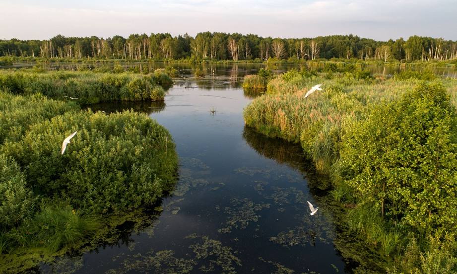
Photo
Where is located National Park «Elk Island»
National Park «Elk Island» — local attraction, which is located at 8 (499) 268-60-45 and belongs to the category — national park. Average visitor rating for this place — 4.6 (according to 14618 ratings, information from open sources and relevant for 2022).
Exact location — National Park «Elk Island», marked on the map with a red marker.
You can get directions to National Park «Elk Island» on the map from your location.
What else is interesting in Balashikha? You can see all the sights if you go to the city page.
Coordinates
National Park «Elk Island», Russian Federation coordinates in decimal format: latitude — 55.866159279345766, longitude — 37.83266129830137. When converted to degrees, minutes, seconds National Park «Elk Island» has the following coordinates: 55°51′58.17 north latitude and 37°49′57.58 east longitude.
Nearby cities
The largest cities that are located nearby:
- Lyubertsy — 15 km
- Pushkino — 22 km
- Elektrostal — 31 km
- Noginsk — 32 km
- Khimki — 34 km
- Izmaylovo — 35 km
- Odintsovo — 47 km
- Podolsk — 50 km
- Zelenograd — 52 km
- Orekhovo-Zuyevo — 62 km
- Kolomna — 95 km
- Serpukhov — 105 km
- Obninsk — 116 km
- Vladimir — 155 km
- Tver — 169 km
- Ryazan — 174 km
- Kaluga — 177 km
- Tula — 180 km
- Novomoskovsk — 201 km
Distance to the capital
Distance to the capital (Moscow) is about — 18 km.