
 Mikhaylovka
Dyrestuy
Mikhaylovka
Mayskiy
Novobessergenevka
Tersky District
Lesnoy
Tertezh
Kuz'minskiye Otverzhki
Mikhaylovka
Dyrestuy
Mikhaylovka
Mayskiy
Novobessergenevka
Tersky District
Lesnoy
Tertezh
Kuz'minskiye Otverzhki
Vyatskopolyansky Historical Museum on the map, Vyatskiye Polyany, Russian Federation
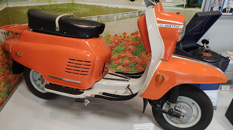
Photo
Where is located Vyatskopolyansky Historical Museum
Vyatskopolyansky Historical Museum — local attraction, which is located at Sovetskaya Ulitsa, 51, Vyatskiye Polyany, Kirov Oblast, 612960 and belongs to the category — museum. Average visitor rating for this place — 4.5 (according to 114 ratings, information from open sources and relevant for 2022).
Exact location — Vyatskopolyansky Historical Museum, marked on the map with a red marker.
You can get directions to Vyatskopolyansky Historical Museum on the map from your location.
What else is interesting in Vyatskiye Polyany? You can see all the sights if you go to the city page.
Coordinates
Vyatskopolyansky Historical Museum, Russian Federation coordinates in decimal format: latitude — 56.226113158992234, longitude — 51.08746999831556. When converted to degrees, minutes, seconds Vyatskopolyansky Historical Museum has the following coordinates: 56°13′34.01 north latitude and 51°5′14.89 east longitude.
Nearby cities
The largest cities that are located nearby:
- Nizhnekamsk — 80 km
- Kazan — 129 km
- Izhevsk — 145 km
- Zelenodolsk — 163 km
- Almetyevsk — 167 km
- Sarapul — 169 km
- Neftekamsk — 199 km
- Yoshkar-Ola — 200 km
- Novocheboksarsk — 220 km
- Glazov — 231 km
- Cheboksary — 236 km
- Dimitrovgrad — 241 km
- Ulyanovsk — 273 km
- Kirov — 275 km
- Tolyatti — 319 km
- Samara — 340 km
- Novokuybyshevsk — 353 km
- Ufa — 354 km
- Perm — 365 km
Distance to the capital
Distance to the capital (Moscow) is about — 838 km.