
 Mikhaylovka
Dyrestuy
Mikhaylovka
Mayskiy
Novobessergenevka
Tersky District
Lesnoy
Tertezh
Kuz'minskiye Otverzhki
Mikhaylovka
Dyrestuy
Mikhaylovka
Mayskiy
Novobessergenevka
Tersky District
Lesnoy
Tertezh
Kuz'minskiye Otverzhki
Lyudinovskoye on the map, Lyudinovo, Russian Federation
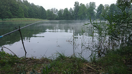
Photo
Where is located Lyudinovskoye
Lyudinovskoye — local attraction, which is located at 8.7 km² and belongs to the category — -. Average visitor rating for this place — 4.6 (according to 5 ratings, information from open sources and relevant for 2022).
Exact location — Lyudinovskoye, marked on the map with a red marker.
You can get directions to Lyudinovskoye on the map from your location.
What else is interesting in Lyudinovo? You can see all the sights if you go to the city page.
Coordinates
Lyudinovskoye, Russian Federation coordinates in decimal format: latitude — 53.87668923005119, longitude — 34.45555589724924. When converted to degrees, minutes, seconds Lyudinovskoye has the following coordinates: 53°52′36.08 north latitude and 34°27′20 east longitude.
Nearby cities
The largest cities that are located nearby:
- Bryansk — 67 km
- Kaluga — 141 km
- Smolensk — 183 km
- Obninsk — 195 km
- Tula — 209 km
- Serpukhov — 223 km
- Novomoskovsk — 252 km
- Podolsk — 261 km
- Odintsovo — 266 km
- Kursk — 266 km
- Izmaylovo — 275 km
- Gomel
 (Belarus) — 281 km
 - Zelenograd — 291 km
- Khimki — 292 km
- Lyubertsy — 295 km
- Kolomna — 306 km
- Yelets — 306 km
- Balashikha — 308 km
- Pushkino — 316 km
Distance to the capital
Distance to the capital (Moscow) is about — 291 km.