
 Mikhaylovka
Dyrestuy
Mikhaylovka
Mayskiy
Novobessergenevka
Tersky District
Lesnoy
Tertezh
Kuz'minskiye Otverzhki
Mikhaylovka
Dyrestuy
Mikhaylovka
Mayskiy
Novobessergenevka
Tersky District
Lesnoy
Tertezh
Kuz'minskiye Otverzhki
Irkutskiy Oblastnoy Krayevedcheskiy Muzey on the map, Irkutsk, Russian Federation
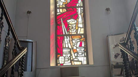
Photo
Where is located Irkutskiy Oblastnoy Krayevedcheskiy Muzey
Irkutskiy Oblastnoy Krayevedcheskiy Muzey — local attraction, which is located at Karl Marx St, 2, Irkutsk, Irkutsk Oblast, 664003 and belongs to the category — history museum. Average visitor rating for this place — 4.6 (according to 337 ratings, information from open sources and relevant for 2022).
Exact location — Irkutskiy Oblastnoy Krayevedcheskiy Muzey, marked on the map with a red marker.
You can get directions to Irkutskiy Oblastnoy Krayevedcheskiy Muzey on the map from your location.
What else is interesting in Irkutsk? You can see all the sights if you go to the city page.
Coordinates
Irkutskiy Oblastnoy Krayevedcheskiy Muzey, Russian Federation coordinates in decimal format: latitude — 52.275793956985936, longitude — 104.27806089816488. When converted to degrees, minutes, seconds Irkutskiy Oblastnoy Krayevedcheskiy Muzey has the following coordinates: 52°16′32.86 north latitude and 104°16′41.02 east longitude.
Nearby cities
The largest cities that are located nearby:
- Angarsk — 40 km
- Ulan-Ude — 231 km
- Bratsk — 455 km
- Ulaanbaatar
 (Mongolia) — 520 km
 - Chita — 624 km
- Ust-Ilimsk — 639 km
- Kyzyl — 678 km
- Kansk — 683 km
- Krasnoyarsk — 817 km
- Abakan — 858 km
- Achinsk — 955 km
- Mezhdurechensk — 1076 km
- Novokuznetsk — 1135 km
- Prokopyevsk — 1160 km
- Leninsk-Kuznetskiy — 1190 km
- Tomsk — 1267 km
- Seversk — 1277 km
- Biysk — 1284 km
- Altay
 (China) — 1296 km
Distance to the capital
Distance to the capital (Moscow) is about — 4203 km.