
 Mikhaylovka
Dyrestuy
Mikhaylovka
Mayskiy
Novobessergenevka
Tersky District
Lesnoy
Tertezh
Kuz'minskiye Otverzhki
Mikhaylovka
Dyrestuy
Mikhaylovka
Mayskiy
Novobessergenevka
Tersky District
Lesnoy
Tertezh
Kuz'minskiye Otverzhki
Kemerovskiy Oblastnoy Krayevedcheskiy Muzey, Otdel Voyennoy Istorii on the map, Kemerovo, Russian Federation
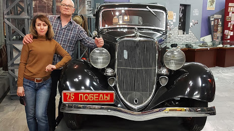
Photo
Where is located Kemerovskiy Oblastnoy Krayevedcheskiy Muzey, Otdel Voyennoy Istorii
Kemerovskiy Oblastnoy Krayevedcheskiy Muzey, Otdel Voyennoy Istorii — local attraction, which is located at Ulitsa Pritomskaya Naberezhnaya, 1А, Kemerovo, Kemerovo Oblast, 650000 and belongs to the category — local history museum. Average visitor rating for this place — 4.8 (according to 173 ratings, information from open sources and relevant for 2022).
Exact location — Kemerovskiy Oblastnoy Krayevedcheskiy Muzey, Otdel Voyennoy Istorii, marked on the map with a red marker.
You can get directions to Kemerovskiy Oblastnoy Krayevedcheskiy Muzey, Otdel Voyennoy Istorii on the map from your location.
What else is interesting in Kemerovo? You can see all the sights if you go to the city page.
Coordinates
Kemerovskiy Oblastnoy Krayevedcheskiy Muzey, Otdel Voyennoy Istorii, Russian Federation coordinates in decimal format: latitude — 55.36036418841128, longitude — 86.08445659828183. When converted to degrees, minutes, seconds Kemerovskiy Oblastnoy Krayevedcheskiy Muzey, Otdel Voyennoy Istorii has the following coordinates: 55°21′37.31 north latitude and 86°5′4.04 east longitude.
Nearby cities
The largest cities that are located nearby:
- Leninsk-Kuznetskiy — 76 km
- Tomsk — 144 km
- Seversk — 157 km
- Prokopyevsk — 167 km
- Novokuznetsk — 188 km
- Novosibirsk — 202 km
- Mezhdurechensk — 225 km
- Barnaul — 267 km
- Achinsk — 290 km
- Biysk — 316 km
- Abakan — 394 km
- Krasnoyarsk — 429 km
- Rubtsovsk — 540 km
- Kansk — 601 km
- Oskemen
 (Kazakhstan) — 643 km
 - Semey (Kazakhstan) — 681 km
- Kyzyl — 701 km
- Pavlodar (Kazakhstan) — 702 km
- Nizhnevartovsk — 803 km
Distance to the capital
Distance to the capital (Moscow) is about — 2986 km.