
 Mikhaylovka
Dyrestuy
Mikhaylovka
Mayskiy
Novobessergenevka
Tersky District
Lesnoy
Tertezh
Kuz'minskiye Otverzhki
Mikhaylovka
Dyrestuy
Mikhaylovka
Mayskiy
Novobessergenevka
Tersky District
Lesnoy
Tertezh
Kuz'minskiye Otverzhki
Gosudarstvennyy Prirodnyy Park "Alatay" on the map, Birobidzhan, Russian Federation
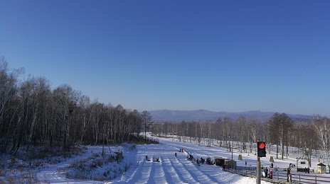
Photo
Where is located Gosudarstvennyy Prirodnyy Park "Alatay"
Gosudarstvennyy Prirodnyy Park "Alatay" — local attraction, which is located at no data and belongs to the category — -. Average visitor rating for this place — 4.5 (according to 496 ratings, information from open sources and relevant for 2022).
Exact location — Gosudarstvennyy Prirodnyy Park "Alatay", marked on the map with a red marker.
You can get directions to Gosudarstvennyy Prirodnyy Park "Alatay" on the map from your location.
What else is interesting in Birobidzhan? You can see all the sights if you go to the city page.
Coordinates
Gosudarstvennyy Prirodnyy Park "Alatay", Russian Federation coordinates in decimal format: latitude — 48.776300727744335, longitude — 132.83846139803796. When converted to degrees, minutes, seconds Gosudarstvennyy Prirodnyy Park "Alatay" has the following coordinates: 48°46′34.68 north latitude and 132°50′18.46 east longitude.
Nearby cities
The largest cities that are located nearby:
- Khabarovsk — 161 km
- Hegang
 (China) — 252 km
 - Jiamusi (China) — 294 km
- Komsomolsk-on-Amur — 348 km
- Heihe (China) — 414 km
- Jixi (China) — 414 km
- Blagoveshchensk — 414 km
- Suihua (China) — 509 km
- Mudanjiang (China) — 534 km
- Ussuriysk — 556 km
- Harbin (China) — 592 km
- Artem — 601 km
- Vladivostok — 630 km
- Daqing (China) — 641 km
- Nakhodka — 659 km
- Qiqihar (China) — 692 km
- Jilin (China) — 746 km
- Yuzhno-Sakhalinsk — 768 km
- Changchun (China) — 817 km
Distance to the capital
Distance to the capital (Moscow) is about — 6004 km.